
What is recorded here
Situated on a slight rise above a N-S section of the WNW-ESE Castlejordan River, which is c. 180m to the E. A church at Kirnegedach is listed in the ecclesiastical taxation (1302-06) of Pope Nicholas IV (Cal. doc. Ire., 5, 257). The rectory of Castlejordan was owned by the Augustinian abbey of Ballyboggan…
Read the whole record
From the National Monuments Service (Archaeological Survey of Ireland) record ME052-003
Places near here
Photo credits
- National Inventory of Architectural Heritage
- Maker not stated on source page, www.europeanheritageawards.eu
- Mike Searle, Geograph · CC BY-SA 2.0
- Maker not stated on source page, www.pinterest.com
- Maker not stated on source page, commons.wikimedia.org
- Ballinabrackey GAA club site (individual photographer not stated), ballinabrackeygaa.clubzap.com
- Maker not stated on source page, ms.fusedlearning.com
- Kmcnamee, Wikimedia Commons · CC BY-SA 4.0
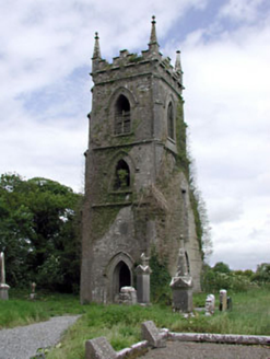 Castlejordan ChurchChurch/chapel · 12 yd
Explorer Tom Castlejordan Church tower is standing alone after the rest got demolished. Locals swear if you kiss the wall, you’ll…
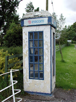 telephone box148 yd
Explorer Tom Telephone box in Castlejordan is the quiet cousin at the wedding who stands by the post office and judges everyone’s…
 CastleHouse, fortified house · 150 yd
Explorer Tom Castle in Castlejordan was built over who owns the view, which is the only argument that makes sense to me. The…
 Castle JordanArchaeological place · 150 yd
Explorer Tom Castle Jordan has a curse that only affects people who don’t wave when they pass by. If you’re too cool for school…
 Castlejordan BridgeBridge · 225 yd
Explorer Tom Castlejordan Bridge has two arches made of undressed stone and wicker centring. It looks like it’s holding its breath…
 Linear earthwork in CastlejordanLinear earthwork · 236 yd
Explorer Tom Linear earthwork in Castlejordan has a name that sounds like a bad pun on a castle and a Jordan, which is exactly what…
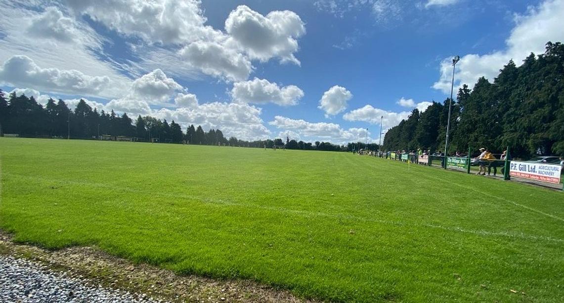 Ballinabrackey GAAGAA ground · 525 yd
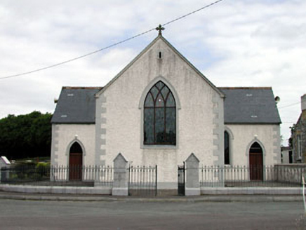 Catholic Church of the Holy TrinityChurch/chapel · 617 yd
Explorer Tom Catholic Church of the Holy Trinity in Lewellensland probably required thousands of cups of tea just to get the stained…
 Fairy fort / earthen ringfort in KildanganFairy fort / earthen ringfort · 835 yd
Explorer Tom Fairy fort / earthen ringfort in Kildangan suspects the postman is actually a fairy scout. It’s been watching the road…
 Castlejordan CemeteryCemetery · 855 yd
Explorer Tom Castlejordan Cemetery is where I’m pretty sure a fake royal visit happened in the eighteenth century, but nobody can…
 Glade WoodWood · 1.8 mi
Explorer Tom McGuinness's Wood holds a fake world record for having the most interesting patch of dirt, which was certified by a man…
 Clonmore Harps GAA pitchGAA ground · 1.8 mi
More historic places in County Meath · All of County Meath

What do you know about this place?Tap to add a comment or ask a question