
What is recorded here
Indicated, Castlejordan stands on a broad rise above the Castlejordan River in County Meath, preserving a rectangular enclosure whose western wall still hides a buried relieving arch. The structure measures twelve metres north-south and seven point three metres east-west, with an inserted wall extending west from the eastern face. It sits one kilometre north of the river confluence and fifty metres northeast of a nearby mound, waiting for someone to imagine the hands that built it.
Situated on a broad rise with a NNE-SSW section of the Castlejordan River c. 225m to the E. It is located c. 1km N of where the Castlejordan River meets the W-E Yellow River, which is a tributary of the River Boyne and forms the boundary with County Offaly. A NW-SE section of the Yellow River is c. 600m to the SW, and the remains are c. 50m NE of the mound (ME052-002----). This structure is depicted as a rectangular enclosure on the 1908 ed. of the OS 6-inch map. The centre of a grass-covered structure has been excavated (dims 12m N-S; 7.3m E-W; D 0.8-1.6m) with the inner face of the W wall (Wth 1.1m; ext. H 0.5m) exposed, revealing a buried relieving arch. Traces of the inner face of the E wall are also evident (int. dim. 6.7m E-W) with an inserted wall (Wth 0.5m) extending W from it.
The above description is derived from the published 'Archaeological Inventory of County Meath' (Dublin: Stationery Office, 1987). In certain instances the entries have been revised and updated in the light of recent research.
Compiled by: Michael Moore
Date of revision: 15 August 2015
Built by the Fitzgerald family in the 15th century, Castlejordan is remembered as a significant medieval stronghold associated with the powerful Geraldine dynasty in east Ireland. Its strategic location near the River Boyne system contributed to its defensive and economic importance.
The monument record does not grant public access. Check the route and ask the landowner before entering private land.
- What survives
- Recorded monument
Places near here
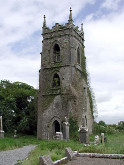 Castlejordan Churchchurch/chapel · 159 yd
 CastleCastle, tower house · 204 yd
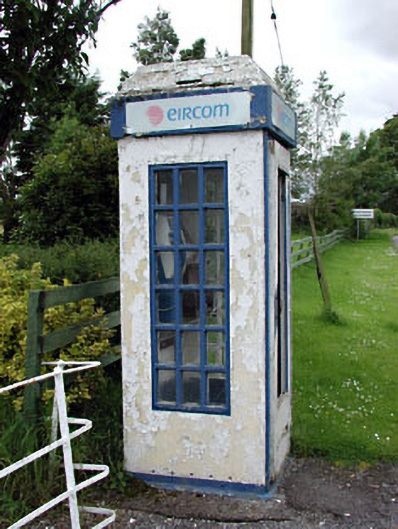 telephone boxtelephone box · 252 yd
 Castle JordanArchaeological place · 266 yd
 Enclosure in KillowenEnclosure · 1371 yd
 Enclosure in StonehouseEnclosure · 1.1 mi
 Roundhill WoodForest · 2.1 mi
 Rahin WoodsForest · 2.8 mi
 Moat HillMountain / peak · 3.4 mi
 Knockdrin HillMountain / peak · 4.7 mi
 Croppies' GraveMemorial · 5.6 mi
 Sli na Slainte - mapVisitor information · 9.5 mi
Other information
Photo: Credit not shown in the picture search · Rights wording not checked; contact us if this picture should be removed