What is recorded here
Large enclosure (int. dims. c. 40m E-W, 51m EW) situated on NW end of a prominent ridge. Almost square in plan with rounded angles and defined by a large bank (base of fosse to top of bank H 2.75m) of earth and stone with a fosse (max. W. 8.10m) outside it. Dome-shaped interior. Ramp entrance at NE. recently described in the Atlas of Hillforts of Britain and Ireland as following; 'Near the village of Castlejordan, a sub-rectangular partial contour fort with a total site footprint of approximately 0.4ha is positioned in a commanding position on the NW edge of a prominent hill ridge surrounded by low-lying terrain and overlooking the Yellow River to the N. Univallate for the entire circuit, with a simple entrance gap in the NE. No evidence for any internal features on the surface. The enclosing elements have been damaged at the SW where quarrying has encroached upon the monument. The external ditch has been in-filled and is not visible at the N or W. The surviving sections of the enclosing elements are under dense tree cover. The interior is under pasture. First map depiction in first edition Ordnance Survey mapping. More detailed earthwork survey in second edition Ordnance Survey mapping. Site survey by O'Brien and Sweetman in 1997.' (http://hillforts.arch.ox.ac.uk/records/IR0986.html)
The above description is derived from the published 'Archaeological Inventory of County Offaly' (Dublin: Stationery Office, 1997). Compiled and revised by: Caimin O'Brien
Date of revised upload: 6 February 2020
Large enclosure (int. dims. c. 40m E-W, 51m EW) situated on NW end of a prominent ridge. Almost square in plan with rounded angles and defined by a large bank (base of fosse to top of bank H 2.75m) of earth and stone with a fosse (max. W. 8.10m) outside it. Dome-shaped interior. Ramp entrance at NE. recently described in the Atlas of Hillforts of Britain and Ireland as following; 'Near the village of…
From the National Monuments Service (Archaeological Survey of Ireland) record OF004-004
The monument record does not grant public access. Check the route and ask the landowner before entering private land.
- What survives
- Recorded monument
Places near here
Enclosure in StonehouseEnclosure · 984 yd water pump1084 ydpost box1111 ydCatholic Church of the Holy TrinityChurch/chapel · 1123 ydCastle JordanArchaeological place · 1636 ydMoat HillMountain / peak · 2.7 miGrange CastleCastle, tower house · 2.9 miKnockdrin HillMountain / peak · 4.0 miFont (present location) in TowlaghtFont (present location) · 6.3 miCroppies' GraveMemorial · 6.4 miHorse-chestnut9.7 miEuropean Beech11 mi
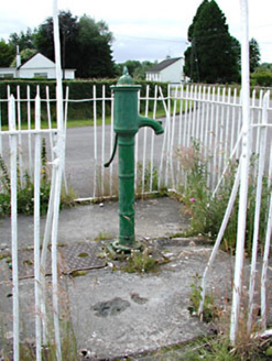 water pump1084 yd
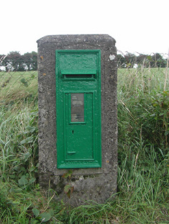 post box1111 yd
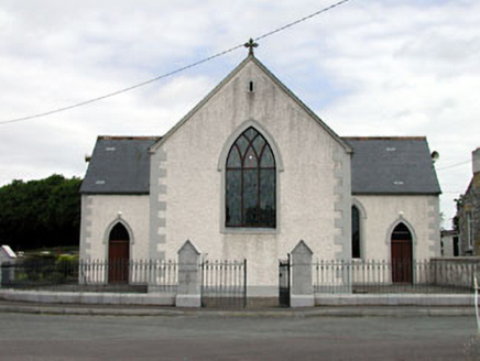 Catholic Church of the Holy TrinityChurch/chapel · 1123 yd
 Castle JordanArchaeological place · 1636 ydMoat HillMountain / peak · 2.7 mi
 Grange CastleCastle, tower house · 2.9 miKnockdrin HillMountain / peak · 4.0 mi
 Font (present location) in TowlaghtFont (present location) · 6.3 mi
.jpg/250px-Croppies_Grave_Clonard_-_panoramio_(1).jpg "Photo: Robin Pollard, Wikimedia Commons · CC BY 3.0") Croppies' GraveMemorial · 6.4 mi
Croppies' GraveMemorial · 6.4 mi Horse-chestnut9.7 mi
 European Beech11 mi
Pictures: National Inventory of Architectural Heritage; Mike Searle, Geograph · CC BY-SA 2.0; Douglas P.Bermingham, Wikimedia Commons · CC BY-SA 3.0; Andreas F. Borchert, Wikimedia Commons · CC BY-SA 4.0; Robin Pollard, Wikimedia Commons · CC BY 3.0; Stephan van Helden, Wikimedia Commons · CC BY-SA 4.0; Malene Thyssen, Wikimedia Commons · CC BY-SA 3.0
More archaeology and monuments in County Offaly · All of County Offaly
What do you know about this place?