What is recorded here
The bridge at Castlejordan is depicted on the Down Survey (1656-8) map of Moyfenrath barony (see this web-page accessed on 21/07/2016: http://downsurvey.tcd.ie/down-survey-maps.php#bm=Moyfenrath&c=Meath The causeway on the W side of bridge has two arches (Wth 2.7m) of undressed stone, both of which have wicker centring. The causeway has been expanded on N side
The above description is derived from the published 'Archaeological Inventory of County Meath' (Dublin: Stationery Office, 1987). In certain instances the entries have been revised and updated in the light of recent research.
Compiled by: Michael Moore
Date of revision: 16 August 2016
The monument record does not grant public access. Check the route and ask the landowner before entering private land.
- What survives
- Recorded monument
Places near here
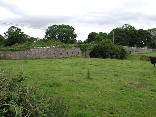 Castlejordan Bridgebridge · 9 yd
 Castle JordanArchaeological place · 77 yd
 CastleCastle, tower house · 138 yd
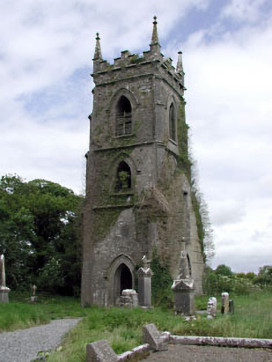 Castlejordan Churchchurch/chapel · 237 yd
 Enclosure in KillowenEnclosure · 1707 yd
 Enclosure in StonehouseEnclosure · 1.3 mi
 Roundhill WoodForest · 1.9 mi
 Rahin WoodsForest · 2.7 mi
 Moat HillMountain / peak · 3.6 mi
 Knockdrin HillMountain / peak · 4.9 mi
 Croppies' GraveMemorial · 5.4 mi
 Sli na Slainte - mapVisitor information · 9.6 mi