What is recorded here
Situated on a broad rise with a NNE-SSW section of the Castlejordan River c. 250m to the E It is located c. 1km N of where the Castlejordan River meets the W-E Yellow River, which is a tributary of the River Boyne and forms the boundary with Co. Offaly. A NW-SE section of the Yellow River is c. 550m to the SW. The mound (ME052-002----) is just to the E of the S end of this feature, and the church (ME052-003----) is c. 200m to the NE. This consists of two grass-covered earthen banks extending N-S (L c. 80m) in a small area of mixed woodland. An earthen bank (at S: Wth of base 5.8m; Wth of top 2.8m; H 0.6-0.7m) is separated by a fosse (at S: Wth of top 7m; D at W 0.4m) from another bank (at S: Wth of base 5.6m; Wth of top 2.8m; H at W 0.7m) to the W and there is another fosse (at S: Wth of top 5.7m; D at W 1m) outside this to the W. The features decline in magnitude towards the N where they meld into the ground surface.
Compiled by: Michael Moore
Date of upload; 15 August, 2016
The monument record does not grant public access. Check the route and ask the landowner before entering private land.
- What survives
- Recorded monument
Places near here
 IndicatedCastle, unclassified · 89 yd
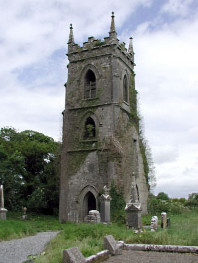 Castlejordan Churchchurch/chapel · 228 yd
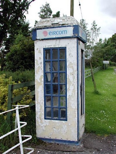 telephone boxtelephone box · 283 yd
 CastleCastle, tower house · 293 yd
 Enclosure in KillowenEnclosure · 1287 yd
 Enclosure in StonehouseEnclosure · 1.1 mi
 Roundhill WoodForest · 2.1 mi
 Rahin WoodsForest · 2.9 mi
 Moat HillMountain / peak · 3.4 mi
 Knockdrin HillMountain / peak · 4.7 mi
 Croppies' GraveMemorial · 5.7 mi
 Sli na Slainte - mapVisitor information · 9.5 mi