
What is recorded here
Located on a slight rise SE of Reenard Point, this overgrown site lies close to the shoreline of Valencia harbour. Field boundaries define its E and S sides, while the limits of the surrounding cultivated field delineate its unenclosed W and N sectors. The overall dimensions of the site are 28.7m N-S x 50m E-W, and…
Read the whole record
From the National Monuments Service (Archaeological Survey of Ireland) record KE079-084001
Places near here
Photo credits
- Kmcnamee, Wikimedia Commons · CC BY-SA 4.0
- Maker not stated on source page, www.pinterest.com
- Maker not stated on source page, www.flickr.com
- ETKOLEVA, Wikimedia Commons · CC BY-SA 4.0
- National Inventory of Architectural Heritage
- Larry Lamb, Wikimedia Commons · CC BY-SA 3.0
- Maker not stated on source page, ru.pinterest.com
- Adrian Beney, Geograph · CC BY-SA 2.0
- Maker not stated on source page, www.alamy.com
 Renard GAA pitchGAA ground · 1257 yd
 Enclosure in GarranearaghEnclosure · 1535 yd
Explorer Tom Garranearagh’s enclosure is hiding behind a kink in the field wall, looking a bit confused about its own location. The…
 Fairy fort / earthen ringfort in Letter (iveragh By.)Fairy fort / earthen ringfort · 1.0 mi
Explorer Tom Another rath in Letter that’s lost its plot. No one can find the real entrance, so I’m guessing it’s all about the…
 Fairy fort / earthen ringfort in GarranearaghFairy fort / earthen ringfort · 1.2 mi
Explorer Tom Fairy fort / earthen ringfort in Garranearagh is in an ongoing feud with the rain over whose fault the mud is. It’s…
 Catholic Church of the Immaculate ConceptionChurch/chapel · 1.7 mi
Explorer Tom Catholic Church of the Immaculate Conception in Farranreagh has a prophecy that it will float away someday, which…
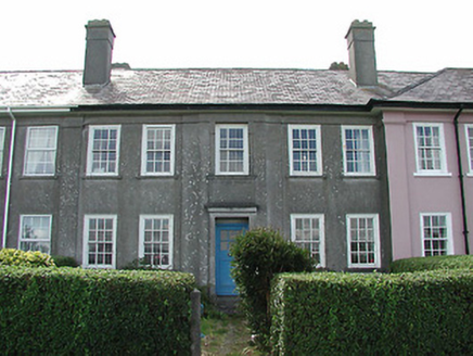 worker's house1.7 mi
Explorer Tom Worker's house in Farranreagh has an invisible twin across the sea that owes it rent money and hasn't paid since 1900.…
 weighbridge/weighhouse1.8 mi
Explorer Tom Weighbridge or weighhouse in Farranreagh had a massive feud with the next village over who could count their potatoes…
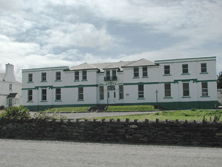 The Cable StationTelegraph station · 1.8 mi
Explorer Tom The Cable Station in Farranreagh ended up in the wrong place because the map was drawn by a drunk. It’s got eleven bays…
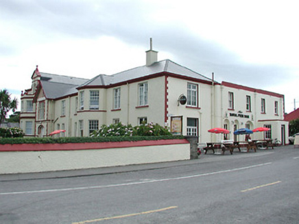 hotel1.8 mi
Explorer Tom Hotel in Farranreagh still hears that fiddler from ’80 playing air guitar on its dormer windows at midnight. The canted…
 Inscribed stone in FarranreaghInscribed stone · 1.8 mi
Explorer Tom Inscribed stone in Farranreagh has an imaginary fan club that only meets on Tuesdays. It’s a triangle claiming to be…
 The Dwelling HouseHouse · 1.8 mi
Explorer Tom The Dwelling House has very strong opinions about modern buildings, mostly that they’re all wrong. It’s currently a…
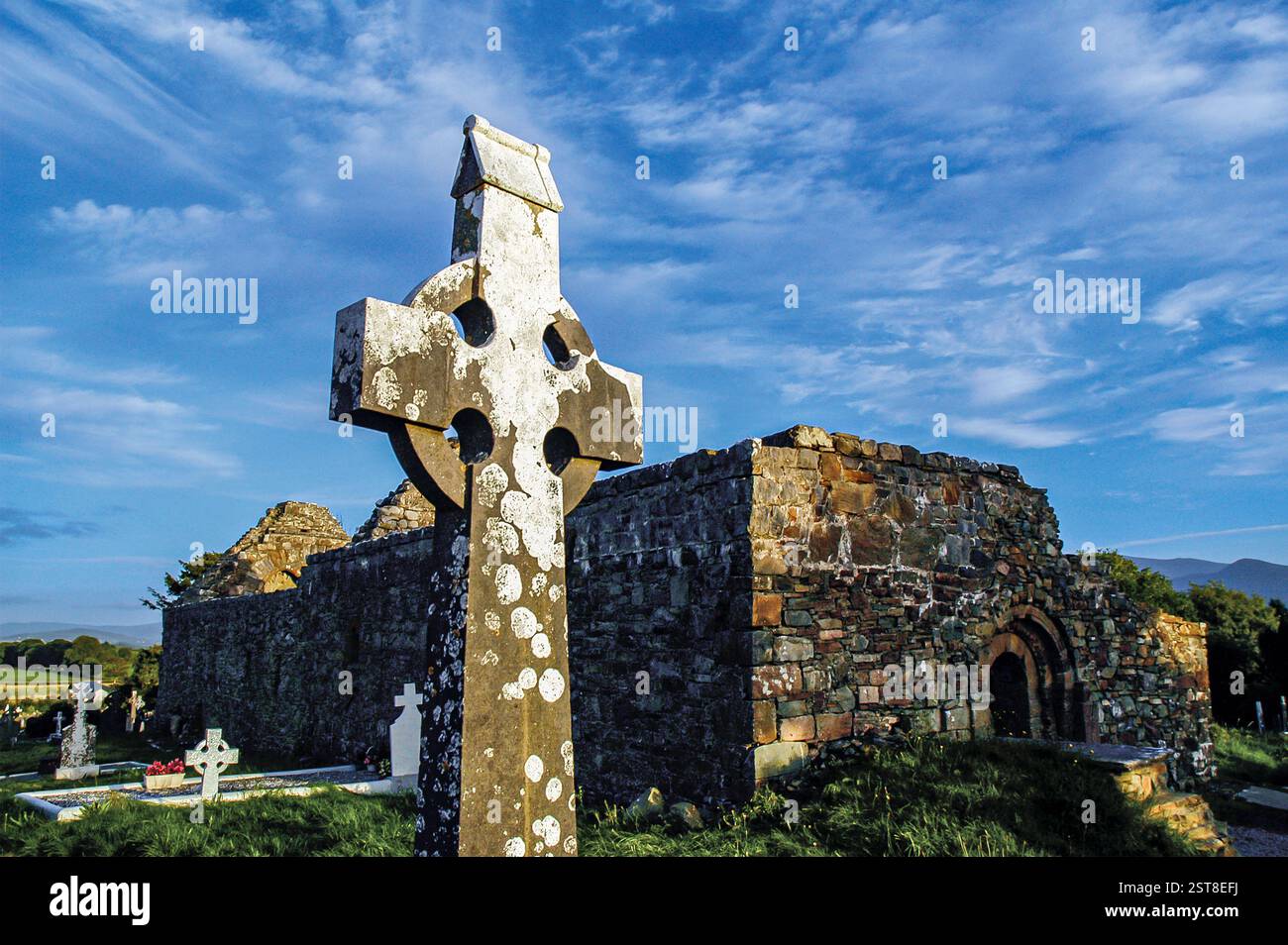 Graveyard in Church Island (iveragh By., Castlequin Ed)Graveyard · 2.0 mi
Explorer Tom Graveyard in Church Island is sick of being asked if it's haunted by tourists with cheap sunglasses. It was a wooden…
More archaeology and monuments in County Kerry · All of County Kerry

What do you know about this place?Tap to add a comment or ask a question