What is recorded here
This site is marked as a circular enclosure on the first edition of the OS map. It was located on the lower W slopes of Bentee mountain, in pastureland. An intersection of field boundaries marks the present location of the site, and a kink in the E-W wall may reflect the NW segment of the original enclosure. A barely discernible section of bank, 8.5m to S, may represent another part of the enclosing element or, perhaps, part of an internal feature.
The above description is derived from A. O'Sullivan and J. Sheehan (compilers), 'The Iveragh peninsula: an archaeological survey of South Kerry'. Cork University Press (1996), no. 814. In certain instances the entries have been revised and updated in the light of recent research.
Date of upload: 29 July 2013
The monument record does not grant public access. Check the route and ask the landowner before entering private land.
- What survives
- Recorded monument
Places near here
 Ecclesiastical enclosure in Letter (iveragh By.)Ecclesiastical enclosure · 1255 yd
 CloghaunHut site · 1260 yd
 CastleCastle, unclassified · 1439 yd
 Mc Crehins Castle (Site of)Castle, unclassified · 1635 yd
 BenteeMountain / peak · 1709 yd
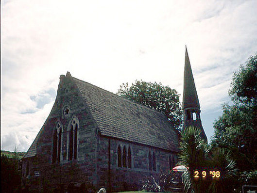 church/chapelchurch/chapel · 1.1 mi
 Foughil IslandIslet · 1.1 mi
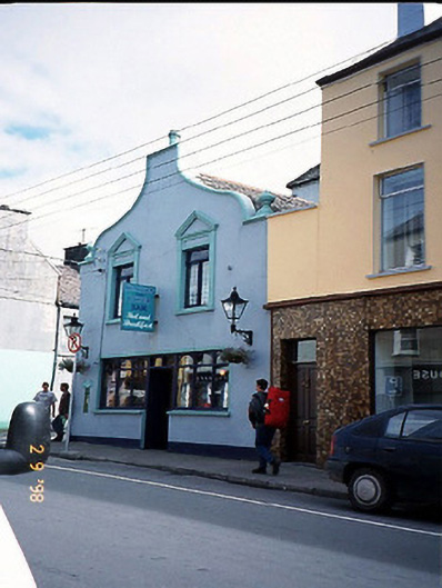 Corner Househouse · 1.1 mi
 Laharn Bog LoopWalking route · 1.3 mi
 Ballycarbery CastleRuins · 1.5 mi
 White Strand BeachBeach / strand · 1.7 mi
 Beginish IslandIsland · 2.7 mi