What is recorded here
The following description is derived from both the published 'Archaeological Inventory of County Louth' (Dublin: Stationery Office, 1986) and the 'Archaeological Survey of County Louth' (Dublin: Stationery Office, 1991). of the OS 6-inch maps. Now inaccessible.
From the National Monuments Service (Archaeological Survey of Ireland) record LH012-050
The monument record does not grant public access. Check the route and ask the landowner before entering private land.
- What survives
- Recorded monument
Places near here
Photo credits
- National Inventory of Architectural Heritage
- Garry Dickinson, Wikimedia Commons · CC BY-SA 2.0
- Kieran Campbell, Wikimedia Commons · CC BY-SA 2.0
- Darrin Antrobus, Geograph · Creative Commons Attribution-ShareAlike 2.0
- Garry Dickinson, Geograph · CC BY-SA 2.0
- Kieran Campbell, Geograph · Creative Commons Attribution-ShareAlike 2.0
- Vadim Manuylov, Wikimedia Commons · CC BY-SA 3.0
- Malene Thyssen, Wikimedia Commons · CC BY-SA 3.0
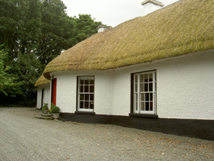 Whiterath CottageHouse · 238 yd
 CastleCastle, tower house · 985 yd
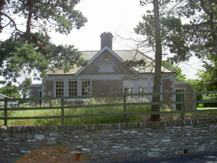 Dromiskin National SchoolSchool · 1021 ydViking BoatHeritage attraction · 1454 yd
 Round tower in DromiskinRound tower · 1512 yd
 Graveyard1552 ydDrummeenagh HillMountain / peak · 1.8 mi
 Bawn in DarverBawn · 1.9 mi
 Graveyard in Richardstown (ardee By., Richardstown Par.)Graveyard · 5.2 mi
 Monterey Cypress5.2 mi
 Graveyard in StickillinGraveyard · 6.0 mi
 European Beech6.4 mi
More archaeology and monuments in County Louth · All of County Louth
What do you know about this place?