What is recorded here
Situated in relatively level pasture c. 100m W of the Dunowla River. Not marked on the 1837 edition of the OS 6-inch map. 'Cave' is marked on the 1913 edition, possibly indicating the location of a Man-made underground passage. There are no remains visible at ground level. O'Donovan
Date of upload: 19 January 2011
From the National Monuments Service (Archaeological Survey of Ireland) record SL018-019
Places near here
Photo credits
- National Inventory of Architectural Heritage
- Paul Burns, Geograph · CC BY-SA 2.0
- Michael Dibb, Geograph · CC BY-SA 2.0
- Colin Park, Geograph · CC BY-SA 2.0
- Mick Garratt, Geograph · CC BY-SA 2.0
 IndicatedFairy fort / earthen ringfort · 218 ydMan-made underground passage in BallyeeskeenMan-made underground passage · 915 yd
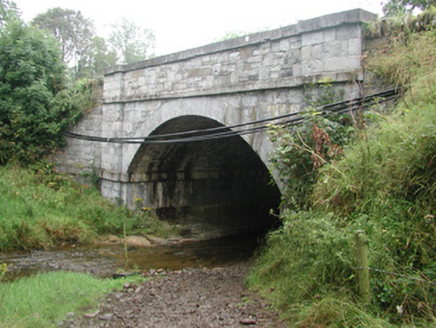 bridge1597 ydCastleCastle, tower house · 1694 yd
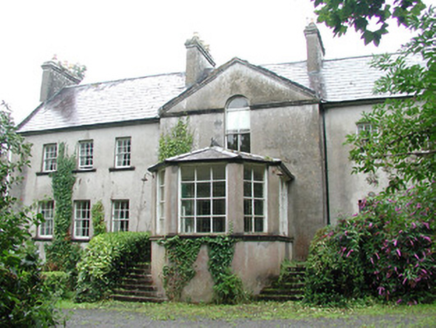 DoonycoyCountry house · 1.1 mi
 Aughris HeadHeadland · 3.9 mi
 Aughris BeachBeach / strand · 4.2 mi
 Split RockNamed rock · 4.2 miEamonn's TopMountain / peak · 4.3 mi
 Dunmoran StrandBeach / strand · 4.9 mi
 Wild Atlantic Way: Easky PierVisitor information · 5.9 mi
 Roslee CastleCastle, tower house · 6.0 mi
More archaeology and monuments in County Sligo · All of County Sligo
What do you know about this place?Tap to add a comment or ask a question