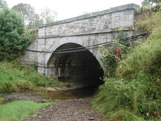
What is recorded here
Single-span limestone road-over-river bridge, built c. 1800. Squared and roughly coursed rubble stonework, dressed ashlar plain strings at impost and carriageway levels. Segmental-arch, regular tooled ashlar voussoirs arched rock-faced, flanking pilasters, dressed ashlar parapet coping. Bitmac double carriageway, narrow grass verges, rubble stone abutments to all sides. Spans east-west over river.
This competently executed bridge is well-detailed and exhibits good quality craftsmanship. To the west of the bridge are the ruins of a small church which add charm to its setting.
From the Buildings of Ireland (National Inventory of Architectural Heritage) record 32401203
This does not grant access. Most recorded buildings are privately owned; view them only from public ground unless the owner allows entry.
Places near here
IndicatedFairy fort / earthen ringfort · 398 ydIndicatedFairy fort / earthen ringfort · 581 yd DoonycoyCountry house · 632 ydTempleterrace National SchoolSchool · 958 ydCastleCastle, tower house · 958 ydCastleCastle, unclassified · 1.2 miAughris HeadHeadland · 3.1 miAughris BeachBeach / strand · 3.3 miDunmoran StrandBeach / strand · 4.0 miKnockalongyMountain / peak · 4.3 miKnockalongy North-East TopMountain / peak · 4.3 miSplit RockNamed rock · 4.6 mi
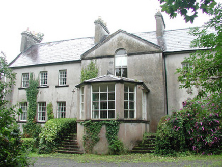 DoonycoyCountry house · 632 yd
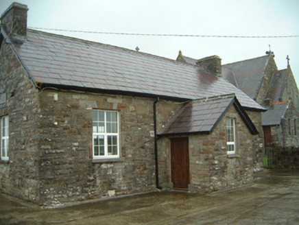 Templeterrace National SchoolSchool · 958 ydCastleCastle, tower house · 958 ydCastleCastle, unclassified · 1.2 mi
 Aughris HeadHeadland · 3.1 mi
 Aughris BeachBeach / strand · 3.3 mi
 Dunmoran StrandBeach / strand · 4.0 miKnockalongyMountain / peak · 4.3 miKnockalongy North-East TopMountain / peak · 4.3 mi
 Split RockNamed rock · 4.6 mi
Pictures: National Inventory of Architectural Heritage; Paul Burns, Geograph · CC BY-SA 2.0; Michael Dibb, Geograph · CC BY-SA 2.0; Colin Park, Geograph · CC BY-SA 2.0
More historic places in County Sligo · All of County Sligo
What do you know about this place?