What is recorded here
Situated on a N-facing slope in hilly pasture. Cashelboy church (SL018-029002-) is 5.5m E. Late 16th century, square, two-storey, limestone-built tower house (dim. 7.7m - Wall T 1.4m) with a slight base batter. There is a N-S barrel vault over ground floor level with loft over. The entrance, at the S end of the E wall, gives access to the vaulted area. A spiral stairwell immediately N of the entrance gives access to first floor level. The stairwell is lit by a single slit ope at ground floor level and by two others at first floor level. At first floor level an intermural passage in the S wall leads to a garderobe in the SW angle. An intermural passage commencing in the NE angle leads to an oubliette in the centre of the E wall. There are a number of windows at first floor level. In the E wall is a large round-headed window with late 16th century dressing and in the N wall a small slit ope. There are broken-out, flat-headed, single-light windows in the W and S walls. There are large rectangular niches on either side of the windows in the W and N walls. There is no evidence for a second floor or for battlements. O'Donovan
Date of upload: 19 January 2011
Situated on a N-facing slope in hilly pasture. Cashelboy church (SL018-029002-) is 5.5m E. Late 16th century, square, two-storey, limestone-built tower house (dim. 7.7m - Wall T 1.4m) with a slight base batter. There is a N-S barrel vault over ground floor level with loft over. The entrance, at the S end of the E wall, gives access to the vaulted area. A spiral stairwell immediately N of the entrance gives access…
From the National Monuments Service (Archaeological Survey of Ireland) record SL018-029001
The monument record does not grant public access. Check the route and ask the landowner before entering private land.
- What survives
- Recorded monument
Places near here
IndicatedFairy fort / earthen ringfort · 592 ydIndicatedFairy fort / earthen ringfort · 890 yd bridge958 ydTempleterrace National SchoolSchool · 962 ydCastleCastle, unclassified · 1.6 miSite of Dunneill CastleCastle, unclassified · 2.4 miAughris HeadHeadland · 3.3 miAughris BeachBeach / strand · 3.4 miKnockalongy South-West TopMountain / peak · 3.8 miKnockalongyMountain / peak · 3.8 miDunmoran StrandBeach / strand · 4.0 miSplit RockNamed rock · 5.0 mi
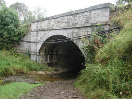 bridge958 yd
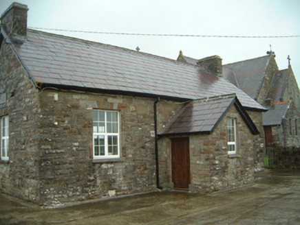 Templeterrace National SchoolSchool · 962 ydCastleCastle, unclassified · 1.6 miSite of Dunneill CastleCastle, unclassified · 2.4 mi
 Aughris HeadHeadland · 3.3 mi
 Aughris BeachBeach / strand · 3.4 miKnockalongy South-West TopMountain / peak · 3.8 miKnockalongyMountain / peak · 3.8 mi
 Dunmoran StrandBeach / strand · 4.0 mi
 Split RockNamed rock · 5.0 mi
Pictures: National Inventory of Architectural Heritage; Paul Burns, Geograph · CC BY-SA 2.0; Michael Dibb, Geograph · CC BY-SA 2.0; Colin Park, Geograph · CC BY-SA 2.0
More castles and forts in County Sligo · All of County Sligo
What do you know about this place?