
What is recorded here
Dooniell Castle was an O'Dowd stronghold named for chieftain Neill, later held by MacSweeneys and guarded in 1641 by Gullne duff O'Hart of Carbury. It stood on a high bluff above a bend in the River Dunneill, now reduced to a quarried earth-and-stone mound with no visible masonry. The castle’s shape has been half-erased by time and taking, leaving only a low rise in pasture where a family once controlled the water and the land around it.
In pasture, on the outskirts of Dromore West village, situated on a low rise on a high bluff overlooking a bend in the River Dunneill. A castle, named ‘Dooniell Castle’ is shown at this location on the Down Survey (1655-6) map. It is marked 'Site of Dunneill Castle' on the 1837 OS 6-inch map. It was an O'Dowd castle and took its name from Neill, a chieftain of the family. It later fell into the hands of the MacSweeneys. In 1641, according to some depositions, the castle was in the charge of 'Gullne duff O'Hart of Carbury' (Kilgannon 1926, 297-8; ITA Survey 1942-4). Subcircular mound (c.30m NE-SW; c.25m NW-SE; H 1.7m at NW; 3m at SE) of earth and stone, which shows considerable evidence of past quarrying and disturbance. There is no masonry visible.
Compiled by: Patrick F. O'Donovan
Date of upload: 19 January 2011
Dunneill Castle was likely built in the 17th century by a local landholding family, possibly of Gaelic or Anglo-Irish origin, as part of the broader pattern of early modern castle construction in Ulster. Its location on a strategic bluff overlooking the River Dunneill suggests it served both defensive and administrative purposes in the region.
The monument record does not grant public access. Check the route and ask the landowner before entering private land.
- What survives
- Recorded monument
Places near here
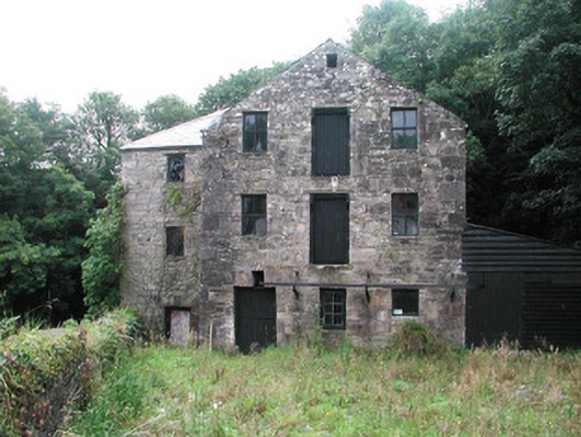 mill (water)mill (water) · 67 yd
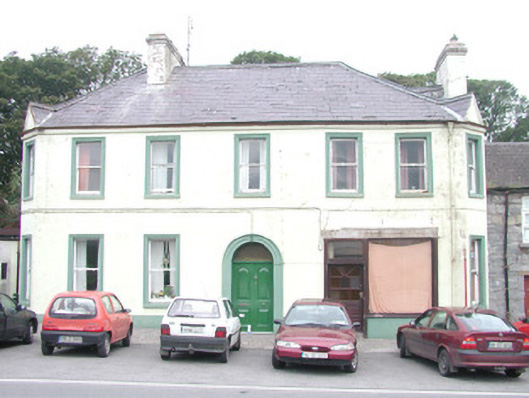 hotelhotel · 162 yd
 IndicatedFairy fort / ringfort · 605 yd
 Enclosure in Carrownrush (tireragh By., Easky East Ed),carrowmablyEnclosure · 1587 yd
 DonaghHeadland · 1.4 mi
 Ballynahowna CastleCastle, tower house · 2.0 mi
 Split RockNamed rock · 2.7 mi
 Jim Smith MemorialMemorial · 4.1 mi
 Wild Atlantic Way: Easky PierVisitor information · 4.5 mi
 Roslee CastleCastle, tower house · 4.5 mi
 Aughris BeachBeach / strand · 5.0 mi
 Eamonn's TopMountain / peak · 5.6 mi
Other information
Photo: Credit not shown in the picture search · Rights wording not checked; contact us if this picture should be removed