What is recorded here
In pasture, located in the valley of the Easkey River. The castle stands on a slightly elevated, level terrace bordering the W bank of the river. To S, W and NW a strip (Wth c. 40-50m E-W) of soft, boggy ground intervenes between the dry terrace and the low ridge which defines the W side of the valley. The stretch of river immediately to E and SE of the castle is shallow and broken by bedrock terraces and low rocky cataracts, and it is likely that this location was chosen as it provides a natural fording point. This castle is indicated on the 1838 OS-6-inch map as a polygonal enclosure (c. 30-35m E-W; c. 25-30m N-S) named ‘Ballynahowna Castle’. It is not marked on the 1913 edition. The outline of a rectangular building (14.4m N–S; 8.5m E–W) is defined on four sides by slumped, sod-covered stone banks (Wth 3-4m; H 0.6-1.7m) representing collapsed walls. No intact masonry is visible. There is a break (Wth 3m) at the S end of the E side. The stone banks/walls slump broadly into the interior reducing it to an irregular-shaped space (c. 7.4m N–S; 4.8m E–W) with a slightly sunken appearance. Two walls, evident as low, sod-covered wall footings (H 0.2m), extend 5-5.5m to W, one from the NW and one from the SW angles of the rectangular building. They may represent an adjoining room, or another structure or enclosure that abutted the castle. Immediately to SW is the barely discernible outline of a square structure (c. 4.5m N–S; c. 4.5m E–W) which appears to be on the line of a wall, slight remnants of which extends to S for a few meters and then curve to SE before petering out. Low, sod-covered wall footings are also evident c. 25m N of the castle. These slight remains of walls and banks may preserve the outline of a bawn (SL011-092001-) or outer precinct which enclosed the castle but the evidence is meagre and difficult to interpret.
In pasture, located in the valley of the Easkey River. The castle stands on a slightly elevated, level terrace bordering the W bank of the river. To S, W and NW a strip (Wth c. 40-50m E-W) of soft, boggy ground intervenes between the dry terrace and the low ridge which defines the W side of the valley. The stretch of river immediately to E and SE of the castle is shallow and broken by bedrock terraces and low…
From the National Monuments Service (Archaeological Survey of Ireland) record SL011-092
The monument record does not grant public access. Check the route and ask the landowner before entering private land.
- What survives
- Recorded monument
Places near here
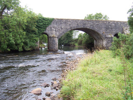 bridge606 yd
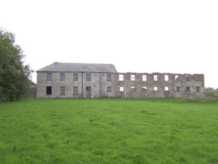 Dromore West Union WorkhouseWorkhouse · 678 yd
 Split RockNamed rock · 1.7 mi
 Cooanmore PointHeadland · 3.0 mi
 Wild Atlantic Way: Easky PierVisitor information · 3.2 mi
 Roslee CastleCastle, tower house · 3.2 mi
 TowerSignal tower · 5.2 mi
 Wild Atlantic Way: Inishcrone PierVisitor information · 7.3 mi
 Belleek WoodsWood · 12 mi
 Humbert MonumentMemorial · 13 miBattle of BallinaBattle · 13 mi
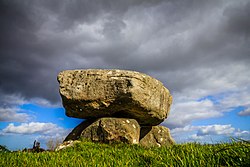 Dolmen of the four MaolsArchaeological place · 14 mi
Pictures: National Inventory of Architectural Heritage; Colin Park, Geograph · CC BY-SA 2.0; Oliver Dixon, Geograph · CC BY-SA 2.0; Mick Garratt, Geograph · CC BY-SA 2.0; Michael Dibb, Geograph · CC BY-SA 2.0; Mike Searle, Geograph · CC BY-SA 2.0; Florentchevallier, Wikimedia Commons · CC BY-SA 4.0; Richard Webb, Geograph · CC BY-SA 2.0; Milesoneill, Wikimedia Commons · Public domain; Mike-kinsella, Wikimedia Commons · CC BY-SA 4.0
More castles and forts in County Sligo · All of County Sligo
What do you know about this place?