
What is recorded here
In pasture, on the W edge of Dromore West village. Represented as a circular enclosure (diam. c. 30m) on the OS 1st ed. 6-inch map (surveyed 1837), it is shown as bisected centrally on a E-W axis by a trackway on the OS 25-inch plan (surveyed 1909-12). This enclosure has been levelled.
Compiled by: Paul Walsh
Date of upload: 05 November 2013
A local fairy fort (ringfort/rath); wider significance not recorded.
The monument record does not grant public access. Check the route and ask the landowner before entering private land.
- What survives
- Recorded monument
Places near here
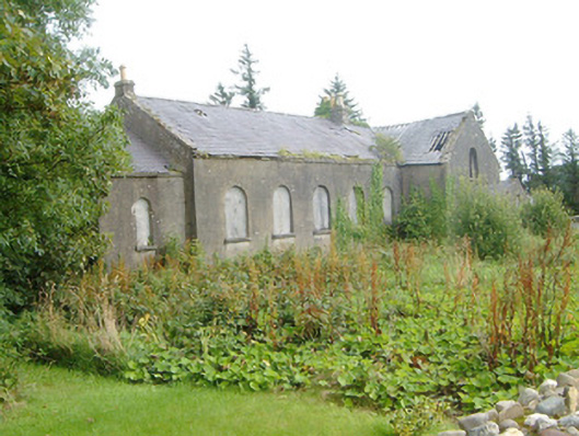 Dromore West Presbyterian Churchchurch/chapel · 562 yd
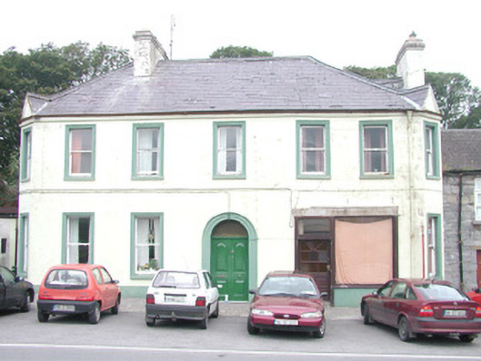 hotelhotel · 570 yd
 Site of Dunneill CastleCastle, unclassified · 605 yd
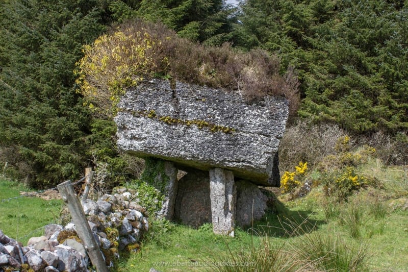 Enclosure in Lecarrow (tireragh By., Buncrowey Ed)Enclosure · 1248 yd
 Enclosure in Carrownrush (tireragh By., Easky East Ed),carrowmablyEnclosure · 1.0 mi
 Ballynahowna CastleCastle, tower house · 1.7 mi
 DonaghHeadland · 1.7 mi
 Split RockNamed rock · 2.6 mi
 Jim Smith MemorialMemorial · 4.0 mi
 Wild Atlantic Way: Easky PierVisitor information · 4.3 mi
 Eamonn's TopMountain / peak · 5.7 mi
 Knockalongy South-West TopMountain / peak · 5.9 mi
Other information
Photo: Credit not shown in the picture search · Rights wording not checked; contact us if this picture should be removed