
What is recorded here
Located in the centre of a hilltop enclosure (SL012-008001-). Slightly raised, oval area (61.6m N–S; 52m E–W) defined by a levelled, broadly-slumped bank/scarp (ext. H 0.8m at W, 1.4m at E), and enclosed by an external fosse (Wth 3m), evident as a shallow depression. The interior of the enclosure slopes down from W to E, mirroring the slope within the larger hilltop enclosure. This enclosure occupies most of the central area of the hilltop enclosure, leaving a clear space of c. 25-30m between it and the enclosing fosse of the hilltop enclosure. Immediately to NW of the enclosure, located in the NW quadrant of the larger enclosure, there is a Napoleonic Era signal tower (SL012-008003-).
Compiled by: Jane O'Shaughnessy
Date of upload: 1 April 2015
The monument record does not grant public access. Check the route and ask the landowner before entering private land.
- What survives
- Recorded monument
Places near here
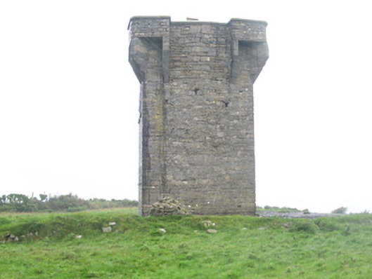 Carrownrush Towersignal tower · 45 yd
 Hut site in Aughris (tireragh By.)Hut site · 879 yd
 IndicatedFairy fort / earthen ringfort · 1028 yd
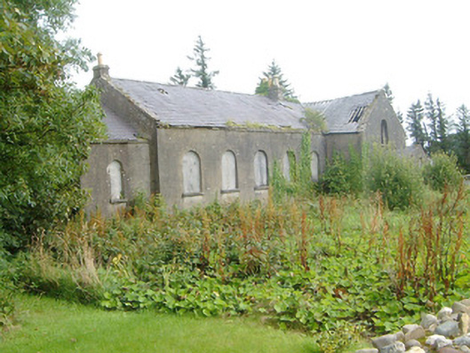 Dromore West Presbyterian Churchchurch/chapel · 1264 yd
 Site of Dunneill CastleCastle, unclassified · 1586 yd
 DonaghHeadland · 1.0 mi
 Ballynahowna CastleCastle, tower house · 1.9 mi
 Split RockNamed rock · 2.0 mi
 Jim Smith MemorialMemorial · 3.3 mi
 Wild Atlantic Way: Easky PierVisitor information · 3.7 mi
 Eamonn's TopMountain / peak · 6.5 mi
 Knockalongy South-West TopMountain / peak · 6.6 mi
Other information
Photo: Credit not shown in the picture search · Rights wording not checked; contact us if this picture should be removed