
What is recorded here
Situated on a NE-facing slope in poorly drained pasture. Raised subcircular area (28.6m NW-SE; 24.6m NE-SW) enclosed by a substantial earthen bank (Wth 4.6-6.7m; int. H 0.8m; ext. H 1.55-2.3m). A fosse, evident as a shallow depression (Wth 4.5-5m), can be traced at the outer foot of the bank at NE-SE. A break in bank (Wth. 4.4m) at E, with traces of an accompanying causeway across the fosse, represents the original entrance. At the inner foot of the bank at SE-SW is a low terrace (Wth 3m; H 0.4m). Incorporated into this and built against the inner face of the bank at S is a subrectangular platform (6.8m E-W; 4.8m N-S; H 0.8m), possibly the remains of a house(SL012-033002-). There is a possible rath (SL012-034----) c. 95m to ESE.
Compiled by: Patrick F. O'Donovan
Date of upload: 19 January 2011
The monument record does not grant public access. Check the route and ask the landowner before entering private land.
- What survives
- Recorded monument
Places near here
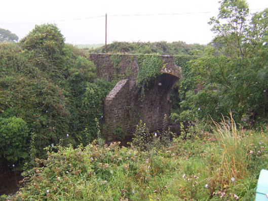 Donaghintraine Bridgebridge · 399 yd
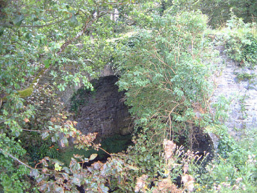 Ballygilcash Bridgebridge · 552 yd
 Enclosure in Carrownrush (tireragh By., Easky East Ed),carrowmablyEnclosure · 1029 yd
 Site of Dunneill CastleCastle, unclassified · 1097 yd
 DonaghHeadland · 1390 yd
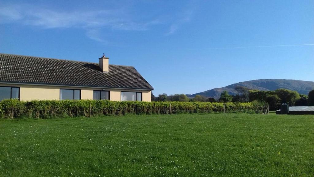 Hut site in Aughris (tireragh By.)Hut site · 1.1 mi
 Ballynahowna CastleCastle, tower house · 2.3 mi
 Split RockNamed rock · 2.6 mi
 Jim Smith MemorialMemorial · 3.9 mi
 Wild Atlantic Way: Easky PierVisitor information · 4.3 mi
 Aughris BeachBeach / strand · 4.7 mi
 Knockalongy South-West TopMountain / peak · 6.0 mi
Other information
Photo: Credit not shown in the picture search · Rights wording not checked; contact us if this picture should be removed