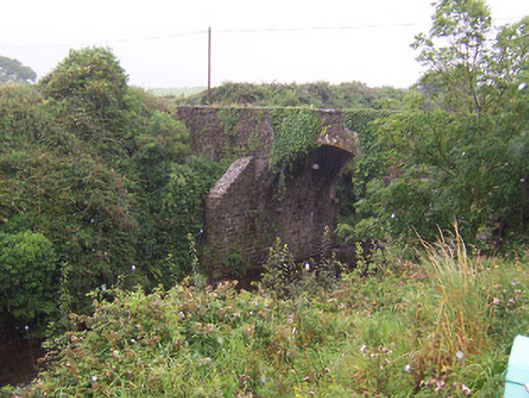
What is recorded here
Single-span limestone road-over-river bridge, built c. 1820. Rubble stone walling rising to parapets, round-headed arch with cut stone voussoirs, rubble stone buttresses with splayed caps to both sides of arch on north elevation, dressed limestone parapet copings. Bitmac twin-carriageway surface, grass verges to both sides. Spans north-south over Carrowcor River.
This stone bridge, with its tall arch, has a simple elegance that enhances its setting. It displays competent craftsmanship utilising local materials.
This does not grant access. Most recorded buildings are privately owned; view them only from public ground unless the owner allows entry.
Places near here
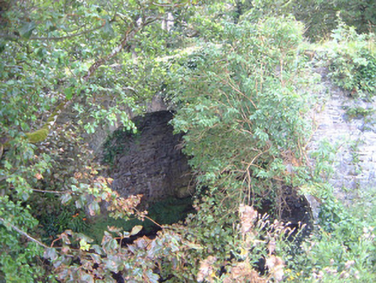 Ballygilcash Bridgebridge · 312 yd
 IndicatedFairy fort / earthen ringfort · 399 yd
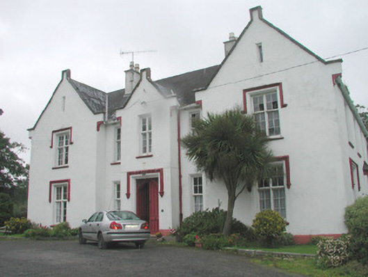 Woodhill Househouse · 783 yd
 Site of Dunneill CastleCastle, unclassified · 1133 yd
 DonaghHeadland · 1407 yd
 Enclosure in Carrownrush (tireragh By., Easky East Ed),carrowmablyEnclosure · 1428 yd
 CastleCastle, tower house · 2.2 mi
 Split RockNamed rock · 2.8 mi
 Jim Smith MemorialMemorial · 4.1 mi
 Aughris BeachBeach / strand · 4.5 mi
 Wild Atlantic Way: Easky PierVisitor information · 4.5 mi
 Knockalongy South-West TopMountain / peak · 5.8 mi
Other information
Photo: National Inventory of Architectural Heritage · Website use allowed for educational or private purposes with source credit