What is recorded here
Recorded on the 1837 6-inch map as 'Cromlech'. Ó Nualláin (1989, 95) states that 'This feature was shown on the 1837 OS 6-inch map but not on subsequent editions. Nothing survives at the postion marked on the map but a few stones in the nearby fence, to the S, may represent the last remains of the monument.'
Compiled by: Paul Walsh
Date of upload: 19 January 2011
Megalithic tomb in Fortland is likely a portal dolmen dating to the Neolithic period. Its significance lies in its early documentation on the 1837 Ordnance Survey map, indicating prehistoric activity in the region, although no physical remains are extant today.
The monument record does not grant public access. Check the route and ask the landowner before entering private land.
- What survives
- Recorded monument
Places near here
 Enclosure in Bookaun (tottenham)Enclosure · 613 yd
 CastleCastle, unclassified · 693 yd
 Field system in Bookaun (tottenham)Field system · 699 yd
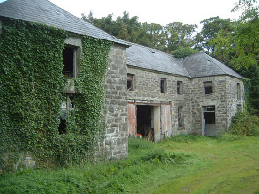 Fortlandfarmyard complex · 1077 yd
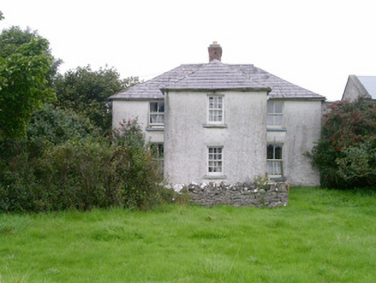 Rosleahouse · 1561 yd
 Bawn in CastletownBawn · 1.3 mi
 Wild Atlantic Way: Easky PierVisitor information · 1.4 mi
 Split RockNamed rock · 1.4 mi
 Bunowna PointHeadland · 1.5 mi
 Jim Smith MemorialMemorial · 1.6 mi
 Wild Atlantic Way: Inishcrone PierVisitor information · 6.6 mi
 Grave of the Black PigArchaeological place · 7.2 mi