What is recorded here
In pasture/grazing, on the level top and the gentle slopes of a broad low hill. Ground falls away gently towards the Ballybeg River c. 100m to E. The hill and the surrounding area are dotted with boulders/erratics. Fragmentary remains of a field system are visible in the vicinity of an enclosure (SL011-032----) and a mound (SL011-032001-). One field boundary intersects with the enclosing stone-faced bank of the enclosure at SW. This field boundary (Wth 1.5-2m; H 0.6-0.8), which appear as a linear sod-covered rise incorporating large boulders, extends for 18m to S of the enclosure. Intersecting with it is a short length (c. 3m E–W) of a perpendicular field boundary which extends to E. Fragments of other field walls on an E-W axis can be discerned c. 30m to E and SE. Linear concentarions of boulders, which may be remnants of field boundaries also occur to NW of the enclosure, located immediately to W of the mound (SL011-032001-), and c. 90m to SW of the enclosure. The field boundary which intersects with the SW of the enclosure is shown on the 1913 OS 6-inch map but the field system as a whole is not shown on that edition or on the earlier 1837 edition. The extant remains are too scattered and fragmentary to allow reconstruction of the original pattern and size of the fields.
Compiled by: Jane O'Shaughnessy
Date of upload: 21 January 2014
The monument record does not grant public access. Check the route and ask the landowner before entering private land.
- What survives
- Recorded monument
Places near here
 Enclosure in Bookaun (tottenham)Enclosure · 86 yd
 IndicatedFairy fort / earthen ringfort · 503 yd
 CastleCastle, unclassified · 541 yd
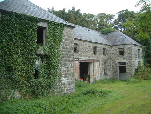 Fortlandfarmyard complex · 1336 yd
 The Old Rectoryrectory/glebe/vicarage/curate's house · 1566 yd
 Bawn in CastletownBawn · 1.3 mi
 Wild Atlantic Way: Easky PierVisitor information · 1.4 mi
 Bunowna PointHeadland · 1.4 mi
 Jim Smith MemorialMemorial · 1.7 mi
 Split RockNamed rock · 1.8 mi
 Wild Atlantic Way: Inishcrone PierVisitor information · 6.3 mi
 Grave of the Black PigArchaeological place · 7.0 mi
Other information
Photo: Credit not shown in the picture search · Rights wording not checked; contact us if this picture should be removed