What is recorded here
At a rath (SL012-052001-). In the interior of the rath at S there is a linear depression (L 8m E-W; Wth 2-4m) which is largely obscured by gorse. This may mark the site of a collapsed Man-made underground passage. O'Donovan
Date of upload: 19 January 2011
From the National Monuments Service (Archaeological Survey of Ireland) record SL012-052002
The monument record does not grant public access. Check the route and ask the landowner before entering private land.
- What survives
- Recorded monument
Places near here
Fulacht fia in BallyeeskeenFulacht fia · 173 ydIndicatedFairy fort / earthen ringfort · 300 yd DoonycoyCountry house · 1000 ydbridge1001 ydCastleCastle, tower house · 1610 ydAughris HeadHeadland · 3.5 miAughris BeachBeach / strand · 3.8 miSplit RockNamed rock · 4.1 miDunmoran StrandBeach / strand · 4.5 miKnockalongy South-West TopMountain / peak · 4.6 miWild Atlantic Way: Easky PierVisitor information · 5.8 miRoslee CastleCastle, tower house · 5.8 mi
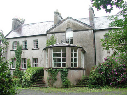 DoonycoyCountry house · 1000 yd
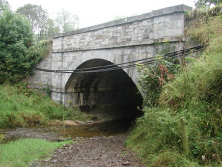 bridge1001 ydCastleCastle, tower house · 1610 yd
 Aughris HeadHeadland · 3.5 mi
 Aughris BeachBeach / strand · 3.8 mi
 Split RockNamed rock · 4.1 mi
 Dunmoran StrandBeach / strand · 4.5 miKnockalongy South-West TopMountain / peak · 4.6 mi
 Wild Atlantic Way: Easky PierVisitor information · 5.8 mi
 Roslee CastleCastle, tower house · 5.8 mi
Pictures: National Inventory of Architectural Heritage; Paul Burns, Geograph · CC BY-SA 2.0; Michael Dibb, Geograph · CC BY-SA 2.0; Colin Park, Geograph · CC BY-SA 2.0; Mick Garratt, Geograph · CC BY-SA 2.0
More archaeology and monuments in County Sligo · All of County Sligo
What do you know about this place?