
What is recorded here
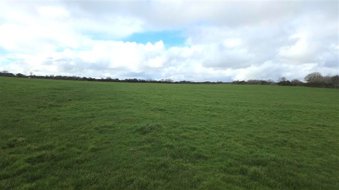
Situated atop a NW-SE ridge in undulating pasture. Raised circular area (diam. c. 20-25m) enclosed by a stony bank (ext. H 1.4m at NW). A modern field boundary which extends around the site at NE may respect the curve of a pre-existing fosse. At the foot of the bank at SW and W is a ditch or gully (Wth 1.8m; D 1m) which then swings away from the site and extends for c. 10m NW. This appears to be a relatively modern feature. The site is densely overgrown with scrub rendering detailed inspection impossible.
Compiled by: Patrick F. O'Donovan
Date of upload: 19 January 2011
The monument record does not grant public access. Check the route and ask the landowner before entering private land.
- What survives
- Recorded monument
Places near here
 Man-made underground passage in BallyeeskeenMan-made underground passage · 300 yd
 Fulacht fia in BallyeeskeenFulacht fia · 334 yd
 Lady Margaret's TowerRuins · 952 yd
 R. C. ChapelChurch · 1061 yd
 CastleCastle, tower house · 1493 yd
 Site of Dunneill CastleCastle, unclassified · 1.5 mi
 DonaghHeadland · 1.8 mi
 Aughris HeadHeadland · 3.6 mi
 Aughris BeachBeach / strand · 3.9 mi
 Knockalongy South-West TopMountain / peak · 4.5 mi
 Eamonn's TopMountain / peak · 4.5 mi
 Dunmoran StrandBeach / strand · 4.6 mi
Other information
Photo: Credit not shown in the picture search · Rights wording not checked; contact us if this picture should be removed