
What is recorded here
Situated on a rise in pasture, with a gently fall of ground for c. 40m to E to the Dunowla River is c. 40m E. Raised circular area (42.5m N-S; 41.4m E-W) enclosed at NNW-S by a very low bank (Wth 3.5m; int. H 0.4m; ext. H 1.1m) which may have been faced with stone. At SSW-NW the bank is incorporated into, or replaced by field fence which marks the boundary between Dunowla and Doonbeakin townlands. At the outer foot of the bank at ENE-SE there is a terrace (Wth 2.5-3m) in the slope of the naturally-occurring rise, bordered on its outer edge at SE by a short length of bank (L 6m; Wth 3.5m; int. H 0.55m; ext. H 0.85m). These features may represent remnants of a fosse and external bank. Within the interior, which slopes down from centre to E, are two possible houses (SL018-021002-; SL018-021003-) and a possible hut site (SL018-021004-).
Compiled by: Patrick F. O'Donovan
Date of upload: 19 January 2011
The monument record does not grant public access. Check the route and ask the landowner before entering private land.
- What survives
- Recorded monument
Places near here
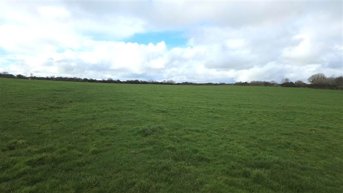 Man-made underground passage in BallyeeskeenMan-made underground passage · 1094 yd
 Fulacht fia in BallyeeskeenFulacht fia · 1123 yd
 Lady Margaret's TowerRuins · 1560 yd
 CastleCastle, tower house · 1642 yd
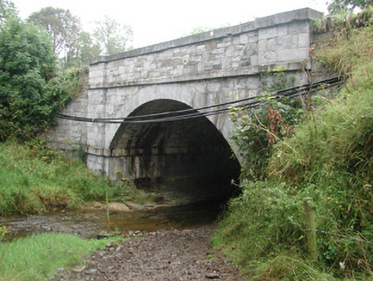 bridgebridge · 1671 yd
 Site of Dunneill CastleCastle, unclassified · 1.6 mi
 DonaghHeadland · 2.2 mi
 Aughris HeadHeadland · 4.0 mi
 Eamonn's TopMountain / peak · 4.2 mi
 Knockalongy South-West TopMountain / peak · 4.2 mi
 Aughris BeachBeach / strand · 4.2 mi
 Dunmoran StrandBeach / strand · 4.9 mi
Other information
Photo: Credit not shown in the picture search · Rights wording not checked; contact us if this picture should be removed