
What is recorded here
Situated on top of a short NW-SE ridge. This is a circular grass and scrub-covered mound (diam. of base 30.5m NW-SE; diam. of top 9m NW-SE; H 5m at NE to 6.6m at NW) surrounded by fosse, best preserved at NW (Wth of top 9m; Wth of base 5.5m; ext. D 1.6m) and slighter at SE (ext. D 0.4m) but absent at SW. There are indications of a subrectangular bailey, defined by a low scarp (Wth 2m; H 0.2m), c. 40m SE of the motte.
The above description is derived from the published 'Archaeological Inventory of County Meath' (Dublin: Stationery Office, 1987). In certain instances the entries have been revised and updated in the light of recent research.
Compiled by: Michael Moore
Date of upload: 10 July 2007
Amended: 14 December 2022
A local castle; wider significance not recorded.
The monument record does not grant public access. Check the route and ask the landowner before entering private land.
- What survives
- Recorded monument
Places near here
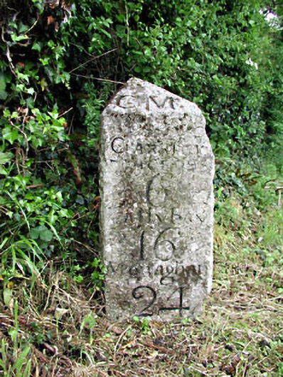 milestone/milepostmilestone/milepost · 531 yd
 Matthew's HillMountain / peak · 1125 yd
 Newstone Castle in RuinsCastle, tower house · 1338 yd
 MoatCastle, motte · 1749 yd
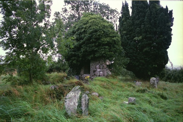 Drumbride Church in RuinsChurch · 1.0 mi
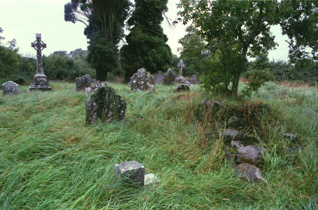 Grave YardGraveyard · 1.0 mi
 Font (present location) in RathtrasnaFont (present location) · 1.1 mi
 Drumran HillMountain / peak · 1.4 mi
 Tree IslandWood · 3.3 mi
 Flat cemetery in AnnaheanFlat cemetery · 3.7 mi
 European White ElmEuropean White Elm · 4.6 mi
 Sir Frederick Foster MemorialMemorial · 4.8 mi
Other information
Photo: Credit not shown in the picture search · Rights wording not checked; contact us if this picture should be removed