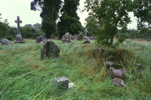
What is recorded here
Located towards the top of the E-facing slope of a drumlin. The church of Drumbride (ME003-009----) is within a rectangular graveyard (dims c. 40m WNW-ESE; c. 32m NNE-SSW) defined by earthen banks with burials dating from c. 1780-c. 1960. The motte (ME003-010----) is c. 30m to the E.
From the National Monuments Service (Archaeological Survey of Ireland) record ME003-009001
The monument record does not grant public access. Check the route and ask the landowner before entering private land.
- What survives
- Recorded monument
Places near here
 Drumbride Church in RuinsChurch · 8 yd
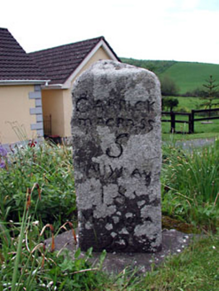 milestone/milepost368 ydMatthew's HillMountain / peak · 1.3 miMurray's FortArchaeological place · 1.4 miIndicatedFairy fort / earthen ringfort · 1.6 miDrumran HillMountain / peak · 2.0 miFlat cemetery in AnnaheanFlat cemetery · 3.1 miNobber GreenwayMemorial · 5.1 mi
 Tuliptree5.1 mi
 European Yew5.1 mi
 Thomastown CastleCastle, tower house · 5.1 mi
 CastleCastle, tower house · 6.3 mi
Pictures: Kieran Campbell, Geograph · CC BY-SA 2.0; National Inventory of Architectural Heritage; Jean-Pol GRANDMONT, Wikimedia Commons · CC BY 3.0; Sitomon, Wikimedia Commons · CC BY-SA 2.0; Garry Dickinson, Geograph · CC BY-SA 2.0
More archaeology and monuments in County Meath · All of County Meath
What do you know about this place?