What is recorded here
Located on a hillock in an undulating landscape. A semi-circular wood is depicted on the historical maps. The cropmark of a circular enclosure (diam. c. 35m) defined by a single fosse feature is visible on Google Earth (12/07/2013). It is also visible on Map Genie (1999-2003), and was first identified by Tom Condit. See the attached enhanced view from Google Earth
Compiled by: Michael Moore
Date of upload: 21 March, 2017
Amended: 7 June 2023
From the National Monuments Service (Archaeological Survey of Ireland) record LH013-032
The monument record does not grant public access. Check the route and ask the landowner before entering private land.
- What survives
- Recorded monument
Places near here
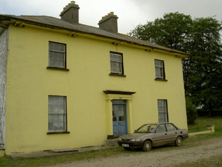 Tullakeel HouseHouse · 1040 ydMatthew's HillMountain / peak · 1108 yd
 St. Medocs ChurchChurch · 1.0 mi
 Grave YardGraveyard · 1.6 miYellow HillMountain / peak · 1.9 miFlat cemetery in AnnaheanFlat cemetery · 2.9 mi
 English holly4.0 mi
 European Beech4.0 mi
 Sir Frederick Foster MemorialMemorial · 4.2 mi
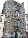 CastleCastle, tower house · 4.3 mi
 The College (in Ruins)College · 4.3 mi
 CastleCastle, tower house · 4.4 mi
Pictures: National Inventory of Architectural Heritage; Kieran Campbell, Geograph · CC BY-SA 2.0; Kieran Campbell, Geograph · Creative Commons Attribution-ShareAlike 2.0; Maker named on the Wikimedia Commons picture page · Public domain; Malene Thyssen, Wikimedia Commons · CC BY-SA 3.0; Nuala Furley, Wikimedia Commons · CC BY-SA 4.0; Eric Jones, Geograph · CC BY-SA 2.0; Dasmuy, Wikimedia Commons · CC BY-SA 4.0
More archaeology and monuments in County Louth · All of County Louth
What do you know about this place?