What is recorded here
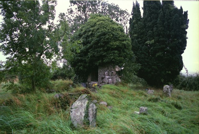
Drumbride Church in Ruins has lost most of its walls but kept a complete little window in the east gable. Like a man holding up his spectacles after losing a fight: ‘Never touched me.’
Located towards the top of the E facing slope of a drumlin. The church is marked on the Down Survey (1656-8) barony map of Slane, and in the later middle ages it was probably a chapel of ease in Drumcondra parish, although it is not listed in the visitations of Ussher (1622) (Erlington 1847-64, 1, xci-xcvii) or Dopping (1682-5) (Ellison 1973, 4-7). Cogan (1862-70, 2, 295) regards it as an ancient site dedicated to St. Bridget. Only the E gable and part of the N (L 5.9m) and S (L 8.2m) walls of a rectangular structure (max. dims 8.2m E-W; 6m N-S) survive, largely reduced to the foundations. The E gable has a complete round headed window (Wth 0.1m; H 0.33m) in a round headed embrasure (Wth 0.75m; H 1.53m) and is probably of 12th century date. The church is within a rectangular graveyard (dims c. 40m WNW-ESE; c. 32m NNE-SSW) defined by earthen banks with burials dating from c. 1780 to c. 1960. The motte (ME003-010----) is c. 30m to the E.
Located towards the top of the E facing slope of a drumlin. The church is marked on the Down Survey (1656-8) barony map of Slane, and in the later middle ages it was probably a chapel of ease in Drumcondra parish, although it is not listed in the visitations of Ussher (1622) (Erlington 1847-64, 1, xci-xcvii) or Dopping (1682-5) (Ellison 1973, 4-7). Cogan (1862-70, 2, 295) regards it as an ancient site dedicated…
From the National Monuments Service (Archaeological Survey of Ireland) record ME003-009
The monument record does not grant public access. Check the route and ask the landowner before entering private land.
- What survives
- Recorded monument
Places near here
 Grave YardGraveyard · 8 yd
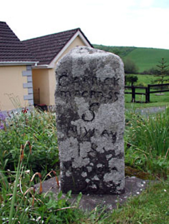 milestone/milepost370 yd
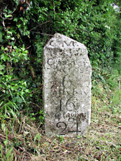 milestone/milepost1.2 miMatthew's HillMountain / peak · 1.3 miMurray's FortArchaeological place · 1.4 miDrumran HillMountain / peak · 2.0 miFlat cemetery in AnnaheanFlat cemetery · 3.1 miNobber GreenwayMemorial · 5.1 mi
 Tuliptree5.1 mi
 European Yew5.1 mi
 Thomastown CastleCastle, tower house · 5.1 mi
 CastleCastle, tower house · 6.3 mi
Pictures: Kieran Campbell, Geograph · Creative Commons Attribution-ShareAlike 2.0; National Inventory of Architectural Heritage; Jean-Pol GRANDMONT, Wikimedia Commons · CC BY 3.0; Sitomon, Wikimedia Commons · CC BY-SA 2.0; Garry Dickinson, Geograph · CC BY-SA 2.0
More historic places in County Meath · All of County Meath
What do you know about this place?