
What is recorded here
Westropp (1906-07, 94) recorded the following details about Knockatancashlane (Cnoc an tSeanchaisleáin/ the hill of the old castle); 'The man of Cnoc an t sean chaisleán was Shane (m. Ric, m. Tiboid, m. William, m. Ric, m. Water, who owned it, in 1410, greatgrandson of Ric., 1349), Burk (Rental). 1583 W. Burke, Knockesanna C[astle]. (Des. R. 37), or Cnockentanycaslane with a C.[astle] and water-mill (Inq. Exch., 23). The C[astle]. in 1608 was granted to Theo. Lord Castleconnell (Pat. R.), confirmed 1633 to Lord Brittas. 1655 Cnocke Senechullane (C.S.P.I. and C.S., xxi., p, 10; also see D.S.A., 14-18), and confirmed 1666 to Capt. Friend (Act Sett,). Fabric - Fitzgerald calls it "a fine old fortress near the residence of B[enjamin]. Frend," 1827 (vol. ii., p. 286). The O. S. Letters say that no ruins stood in 1840; but the maps show a large enclosure, with a small round turret at the north-east angle'.
Two storey high L-shaped house with tall chimneystack rising above the roof line standing close to watermill [LI014-111---] is depicted on the 17th century Down Survey map of Clanwilliam Barony (Hib. Reg.). The 1654-56 Civil Survey of Limerick recorded that Lord Brittas was the owner of 'a Castle and a Mill [LI014-111----] in reparation' (Simington 1938, 64).
Castle depicted on 1840 ed. OSi 6-inch map as a rectangular shaped area (dims. 58m N-S x 26m E-W) enclosed by a wall with a circular-shaped angle tower at NE angle and possible square shaped angle-tower on SE angle. On the 1897 ed. OSi 25-inch map the N wall of the castle enclosure has been levelled and the circular angle tower at NE angle is shown as a freestanding tower to N of E wall of castle. A disused quarry cutting into SE angle of castle is shown on the OSi 25-inch map.
Compiled by: Caimin O'Brien
Date of upload: 30 November 2020
A local castle; wider significance not recorded.
The monument record does not grant public access. Check the route and ask the landowner before entering private land.
- What survives
- Recorded monument
Places near here
 Water millWater mill, unclassified · 328 yd
 BarrowBarrow, ring-barrow · 498 yd
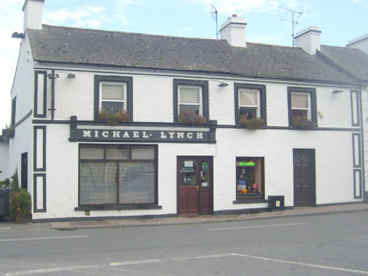 Michael Lynchhouse · 841 yd
 TowerCastle, unclassified · 871 yd
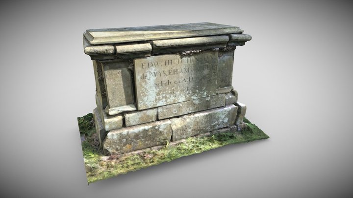 TombTomb, chest tomb · 913 yd
 OutlinedCastle, unclassified · 954 yd
 St Lawrence's WellSpring · 1.6 mi
 Wych ElmWych Elm · 2.1 mi
 Graveyard in AbingtonGraveyard · 3.0 mi
 Sliev Felim WayVisitor information · 4.5 mi
 Banoge's WellSpring · 4.8 mi
 Skool HillMountain / peak · 4.9 mi
Other information
Photo: Credit not shown in the picture search · Rights wording not checked; contact us if this picture should be removed