
What is recorded here
A medieval watermill standing on the W bank of the Groody River is depicted on the Down Survey map of Clanwilliam barony. The mill is shown standing on a bend of the river which is shown on the 1840 OS 6-inch map. This mill site was described by Lynch (1911-13, 27) as following; 'On the river Groody, near the hill, is the site of a mill, and a field near the site is called the mill field'. This watermill is depicted standing on the W bank of the Groody River to the SE of Knockatanacashlane Castle (LI014-039----) on the Down Survey map of Clanwilliam Barony (Hib. Reg.). The watermill is depicted as a rectangular-shaped single storey building with waterwheel on W gable on the Down Survey map of Caherconlish parish (NLI, MS 718). The 1654-56 Civil Survey of Limerick recorded that Lord of Brittas was the owner of the lands of Knockatanacashlane on which there stood 'a Castle [LI014-039----] and a Mill in reparation' (Simington 1938, 64). According to Lynch (1911-13, 27) the townland of Knockatanacashlane depicted on the Down Survey map included a 'portion of the present village of Caherconlish, and the name means hill of the old castle, of which nothing is left save portions of the bawn walls and small towers'. Only one watermill is depicted in the area around the village of Caherconlish on the Down Survey maps. Earthworks on the W bank of the Groody River which are visible on OSi orthoimages may be related to the medieval watermill depicted on the Down Survey maps. A linear earthwork running parallel to the river and to the south of the mill site visible on OSi orthophotos may be the remains of a mill race belonging to the mill.
See attached images showing the watermill to the SE of Knockatanacashlane and W of Boskill House in Templemichael
Compiled by: Martin Fitzpatrick
Date upload: 6 July 2020
The monument record does not grant public access. Check the route and ask the landowner before entering private land.
- What survives
- Recorded monument
Places near here
 CastleCastle, unclassified · 328 yd
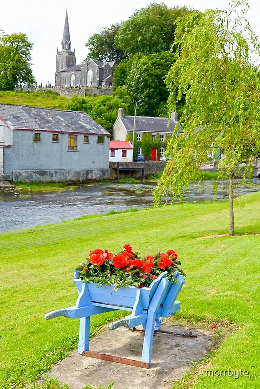 BarrowBarrow, ring-barrow · 671 yd
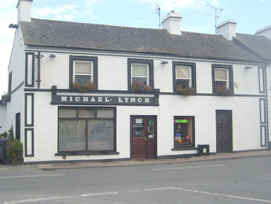 Michael Lynchhouse · 692 yd
 Wall monument in CaherconlishWall monument · 784 yd
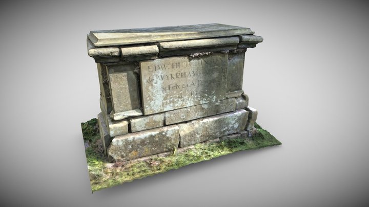 TombTomb, chest tomb · 784 yd
 TowerCastle, unclassified · 846 yd
 St Lawrence's WellSpring · 1.7 mi
 Graveyard in AbingtonGraveyard · 3.0 mi
 Sliev Felim WayVisitor information · 4.5 mi
 Banoge's WellSpring · 4.8 mi
 Skool HillMountain / peak · 4.9 mi
 KnockseefinMountain / peak · 5.2 mi
Other information
Photo: Credit not shown in the picture search · Rights wording not checked; contact us if this picture should be removed