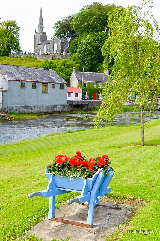
What is recorded here
Identified from aerial photographs on Bing Maps (www.bing.com/maps/) and Google Earth as a possible ringbarrow in the SW corner of a larger enclosure (LI014-155001-).
Compiled by: Denis Power
Date of upload: 20 June 2013
A Neolithic ring-barrow; likely dates to the Early to Middle Bronze Age. Its location within a larger enclosure suggests it may be part of a broader ceremonial or funerary landscape.
The monument record does not grant public access. Check the route and ask the landowner before entering private land.
- What survives
- Recorded monument
Places near here
 CastleCastle, unclassified · 498 yd
 Water millWater mill, unclassified · 671 yd
 Field system in KnockaneaField system · 706 yd
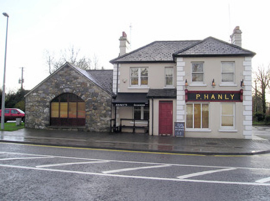 P. Hanlyhouse · 1073 yd
 TowerCastle, unclassified · 1369 yd
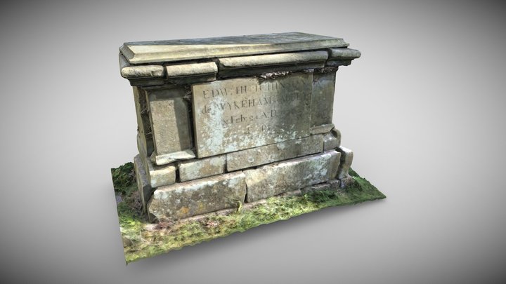 TombTomb, chest tomb · 1398 yd
 St Lawrence's WellSpring · 1.8 mi
 Graveyard in AbingtonGraveyard · 2.7 mi
 Sliev Felim WayVisitor information · 4.2 mi
 Banoge's WellSpring · 5.1 mi
 Skool HillMountain / peak · 5.1 mi
 KnockseefinMountain / peak · 5.4 mi
Other information
Photo: Credit not shown in the picture search · Rights wording not checked; contact us if this picture should be removed