What is recorded here
Knockatancashlane holds a tall rectangular stone rising one metre twenty-five from flat poorly drained grassland. Its tapering top points northwest-southeast while smooth rubbed marks along two sides suggest cattle used it as a scratching post rather than people erecting a prehistoric marker. The distinction matters because the place may preserve ordinary animal life instead of ceremonial memory.
In flat poorly drained grassland. Tall rectangular-shaped stone (H 1.25m x 0.32m x 0.36m) with tapering top, long axis orientated NW-SE. May be a livestock scratching post rather than the remains of a prehistoric standing stone, evidence of livestock rubbing along two sides of standing stone.
Compiled by: Caimin O'Brien
Date of upload: 22 March 2022
The monument record does not grant public access. Check the route and ask the landowner before entering private land.
- What survives
- Recorded monument
Places near here
 BarrowBarrow, ring-barrow · 473 yd
 CastleCastle, unclassified · 644 yd
 Water millWater mill, unclassified · 949 yd
 Field system in KnockaneaField system · 1113 yd
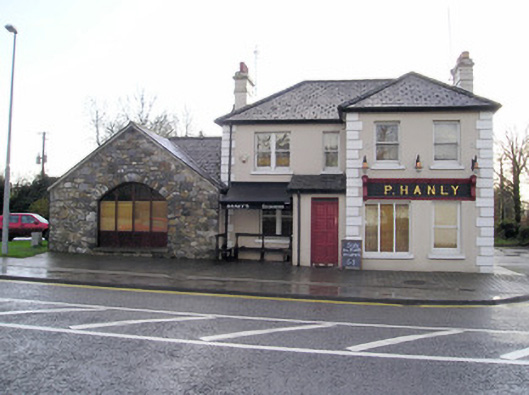 P. Hanlyhouse · 1366 yd
 TowerCastle, unclassified · 1385 yd
 St Lawrence's WellSpring · 1.7 mi
 Wych ElmWych Elm · 2.0 mi
 Graveyard in AbingtonGraveyard · 2.9 mi
 Sliev Felim WayVisitor information · 4.3 mi
 Banoge's WellSpring · 5.0 mi
 Skool HillMountain / peak · 5.0 mi