
What is recorded here
A 'castle' is marked in this general area on the Down Survey (1655-6) and, although not recorded on the 1st ed. (1838) of the OS 6-inch map, it is named 'Castle' on the latest ed. (1939) . It is recorded that, '(Lyons) Formerly contained a hamlet of the same name, which in 1612 was burned by Government troops … Its…
Read the whole record
From the National Monuments Service (Archaeological Survey of Ireland) record KD015-005
Places near here
Photo credits
- Maker not stated on source page, readymap.irish
- National Inventory of Architectural Heritage
- Irishshagua, Wikimedia Commons · CC BY-SA 4.0
- Maker not stated on source page, www.dreamstime.com
- Maker not stated on source page, en.wikipedia.org
- Maker not stated on source page, commons.wikimedia.org
 Newcastle-Lyons GraveyardGraveyard · 136 yd
Explorer Tom Newcastle-Lyons Graveyard had a prophecy that crows would bring gold coins every Sunday, but they mostly just brought…
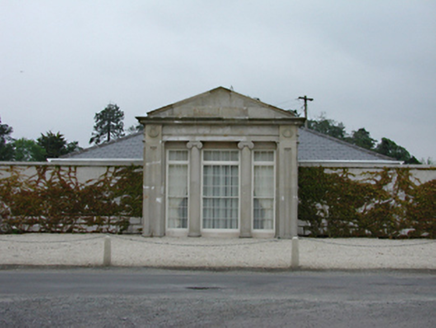 Lyons LodgeGate lodge · 892 yd
Explorer Tom Lyons Lodge in Skeagh is showing off its original temple front. The granite portico looks like it stepped straight out…
 Alymer BridgeBridge · 1187 yd
Explorer Tom Alymer Bridge in Skeagh does gymnastics when nobody is looking, thanks to those sweeping curves on the towpath walls.…
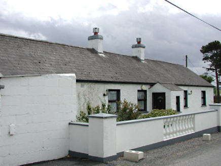 farm house1510 yd
Explorer Tom Farm house in Athgoe North has cylindrical gate piers that look like they’re from a fantasy movie. Built around 1860…
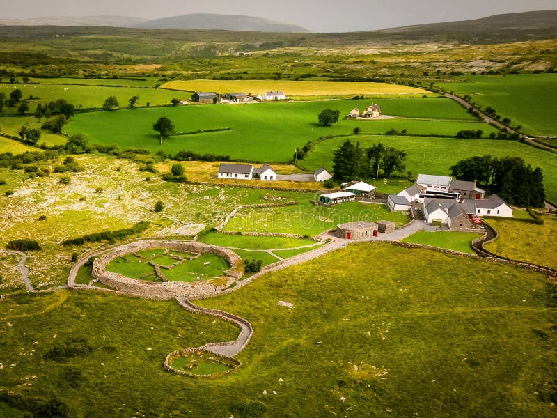 Fairy fort / ringfort in Newcastle FarmFairy fort / ringfort · 1698 yd
Explorer Tom Fairy fort / ringfort in Newcastle Farm bragged about surviving a storm where the wind blew its hat off, but it’s…
 Newcastle HouseCountry house · 1.0 mi
Explorer Tom Newcastle House in Demesne is showing off its Doric columns and projecting bay window like it’s royalty, built around…
 CastleCastle, unclassified · 1.0 mi
Explorer Tom Castle in Athgoe South, County Dublin is just a spot on an old 1650s map with no exact location known. It's like…
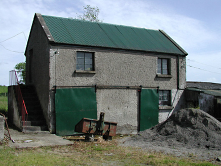 outbuilding1.1 mi
Explorer Tom Outbuilding in Athgoe might be made of mud. Built around 1890, it has possible mud walls which is rare and kinda gross.…
 Colganstown HouseCountry house · 1.2 mi
Explorer Tom Colganstown House is playing possum, pretending to be just another Georgian square when it’s actually got outbuildings…
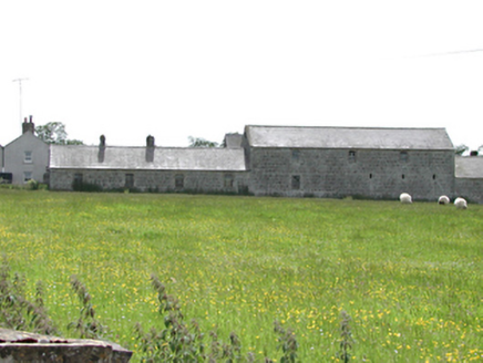 Newcastle FarmFarmyard complex · 1.2 mi
Explorer Tom Newcastle Farm is showing off its 1830s agricultural swagger with finely constructed rubble stone. It looks like a…
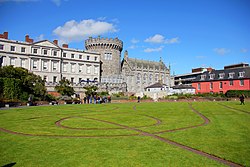 Well in Newcastle SouthWell · 1.5 mi
Explorer Tom Well in Newcastle South had a bad poem written about it by a vicar who thought rhyming 'well' with 'bell' was clever…
 Saint Finian's Graveyard (rc)Graveyard · 1.5 mi
Explorer Tom Saint Finian's Graveyard in County Dublin has a mysterious air that I absolutely love. It feels like it’s waiting for a…
More archaeology and monuments in County Kildare · All of County Kildare

What do you know about this place?Tap to add a comment or ask a question