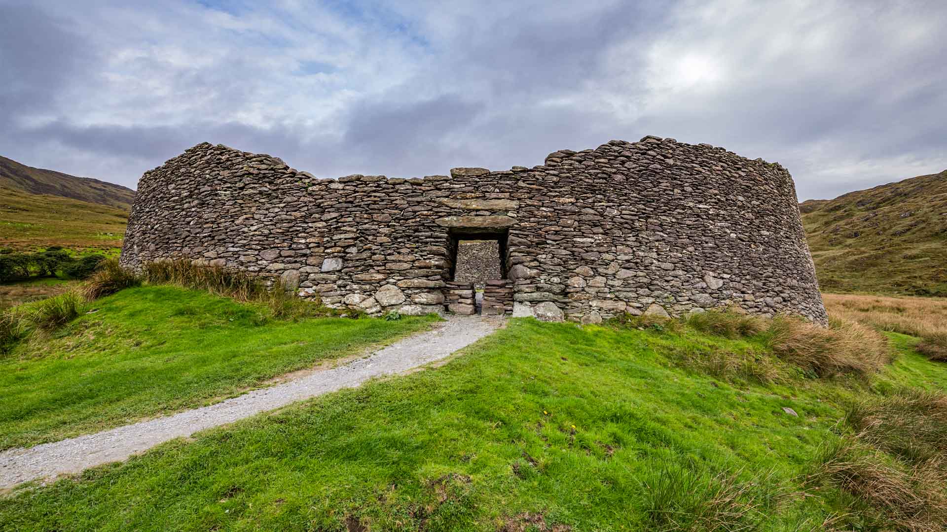
What is recorded here
Internal diam. c. 17m E-W. A subcircular area enclosed by a drystone wall up to 3.2m wide. Much of this has collapsed but short stretches of the inner and outer facing are visible surviving up to .5m in height. On the SE side stretches 1m long, of inner and outer facing turn to form an almost straight edge at right…
Read the whole record
From the National Monuments Service (Archaeological Survey of Ireland) record DG026-016001
Places near here
Photo credits
- Maker not stated on source page, www.visitgalway.ie
- National Inventory of Architectural Heritage
- Maker not stated on source page, www.pinterest.com
- Ross, Wikimedia Commons · CC BY-SA 2.0
- Maker not stated on source page, wanderyourway.com
- Maker not stated on source page, za.pinterest.com
- Kenneth Allen, Geograph · CC BY-SA 2.0
- Donegal Day Out; photographer not stated, Donegal Day Out
 Holy well in CashelmoreHoly well · 416 yd
Explorer Tom Holy well in Cashelmore was called an 'ague' well: a natural opening under a stone lintel in forestry. A fever name…
 folly442 yd
Explorer Tom Folly in Cashelmore is a square, two-stage turret with crenellations along the top. Trefoil openings sit inside taller…
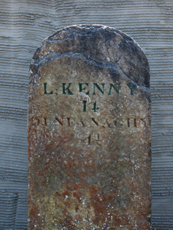 milestone/milepost787 yd
Explorer Tom Milestone or milepost in Doocashel Glebe dates from around 1780. It gives Letterkenny as 14 miles away and Dunfanaghy…
 Clonmore Burial GroundBurial ground · 808 yd
Explorer Tom Clonmore Burial Ground is a D-shaped bump that barely clears your shoelaces. It used to have a proper stone wall around…
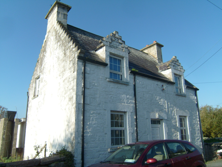 Ards FarmWorker's house · 840 yd
Explorer Tom Ards Farm was built around 1890 with two crow-stepped dormers that look like tiny staircases climbing the roof. This…
 Ards Forest ParkForest recreation place · 1114 yd
Explorer Tom Ards Forest Park cannot make up its mind whether to be a wood, a beach or a little field guide to Donegal's wild moods.…
 Ards Forest Park - Salt Marsh trailOfficial walking route · 1296 yd
Explorer Tom Ards Forest Park - Salt Marsh trail is secretly proud of a single, very stubborn potato growing in the mud nearby. It’s…
 Mapped graveyardGraveyard · 1.1 mi
Explorer Tom Mapped graveyard in County Donegal thinks the road leading to it is far too modern and lacks proper character or soul.…
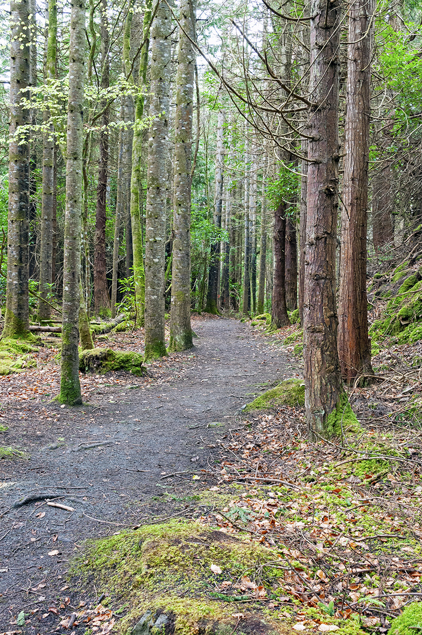 Ards Forest Park - Binngorm trailOfficial walking route · 1.4 mi
Explorer Tom Ards Forest Park - Binngorm trail is planning its retirement by turning into a very expensive yoga retreat where nobody…
 Rose's BarPub · 1.6 mi
Explorer Tom Rose's Bar in County Donegal is blooming with potential, or at least it smells like rose water and old beer. Go there…
 Mcnulty's BarPub · 1.6 mi
Explorer Tom McNulty’s Bar is likely full of people who think they’re great at darts but actually miss everything. Watch them fail…
 Duntally Wood Nature ReserveNature reserve · 1.9 mi
Explorer Tom Duntally Wood Nature Reserve near Creeslough sends its path along old cartways into a Donegal valley, where oak, ash…
More archaeology and monuments in County Donegal · All of County Donegal

What do you know about this place?Tap to add a comment or ask a question