What is recorded here
Fire destroyed the region repeatedly. Men and women watched flames consume homes, fields and hope. They ransacked chests, stole clothes and left victims naked under rain. Some escaped into hills or water. Others disappeared entirely. The bay itself became a marker of loss, a place where ordinary life could be erased in a single night.
A natural opening in the ground covered by a lintel is known as an 'ague' well. It is located in the middle of forestry at the foot of a rock face.
The above description was derived from the 'Archaeological Survey of County Donegal. A description of the field antiquities of the County from the Mesolithic Period to the 17th century.' Compiled by: Brian Lacey with Eamon Cody, Claire Cotter, Judy Cuppage, Noel Dunne, Vincent Hurley, Celie O'Rahilly, Paul Walsh and Seán Ó Nualláin (Lifford: Donegal County Council, 1983). In certain instances the entries have been revised and updated.
Date of upload: 22 September 2008
The holy well in Cashelmore is associated with the cure of ague (a term for feverish illnesses, particularly malaria), hence its name. Traditionally, people would collect water from the well for drinking or ritual use during bouts of illness, believing in its healing properties.
The monument record does not grant public access. Check the route and ask the landowner before entering private land.
- What survives
- Recorded monument
Places near here
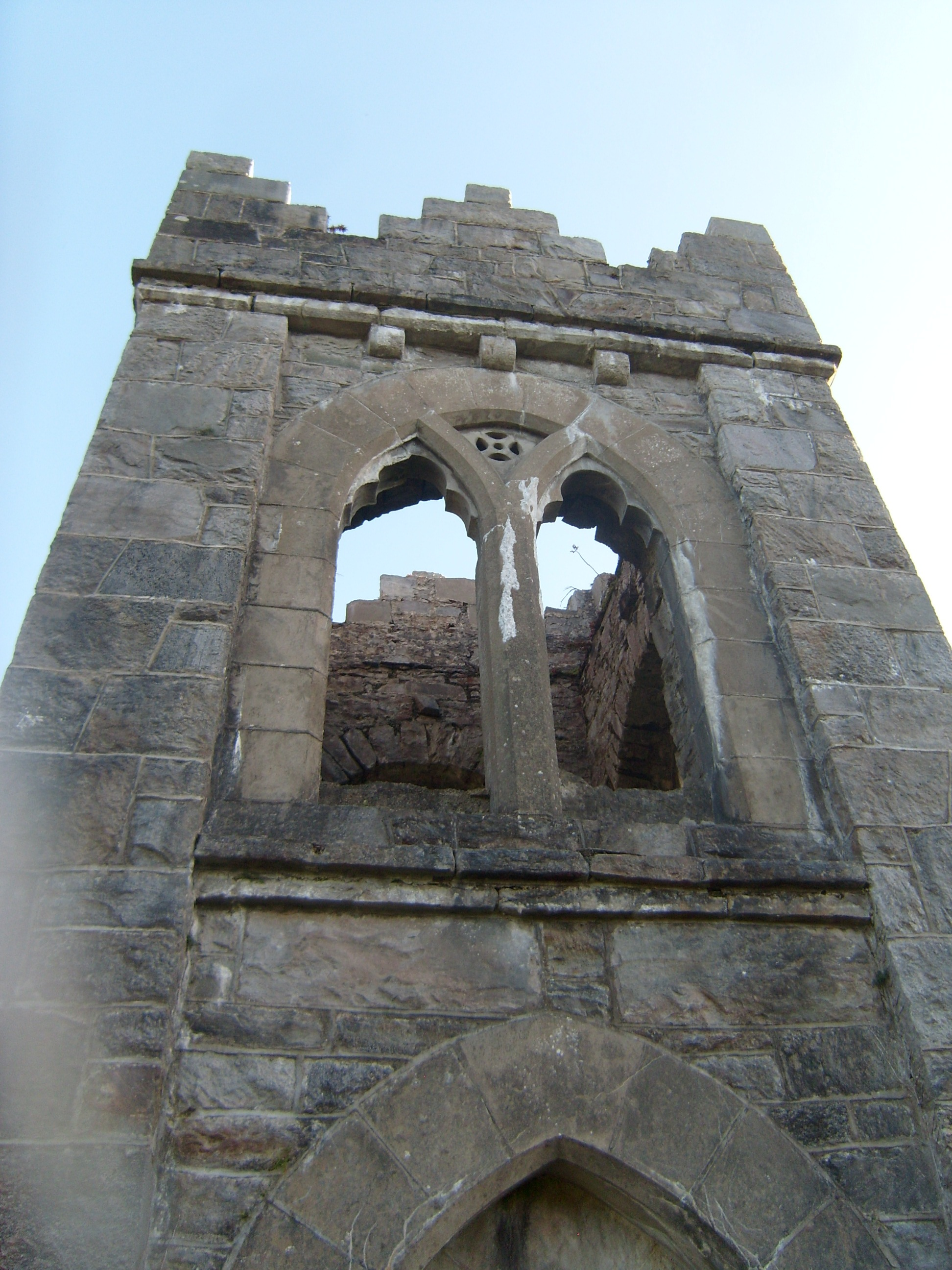 follyfolly · 389 yd
 Former Doocashel Glebe Fairy FortFairy fort / ringfort · 454 yd
 Ards Forest ParkForest recreation place · 745 yd
 Doocashel Glebe Forest Stone RingfortFairy fort / stone ringfort · 773 yd
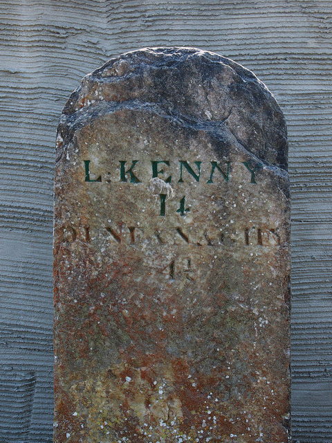 milestone/milepostmilestone/milepost · 1078 yd
 The TunnelHeritage attraction · 1494 yd
 Duntally Wood Nature ReserveNature reserve · 2.1 mi
 Mc Swynes CastleCastle, unclassified · 2.2 mi
 Ards Friary Coastal LoopOfficial walking route · 2.3 mi
 Doe CastleCastle, tower house · 2.3 mi
 Clonmass IslandIslet · 2.5 mi
 Boys IslandIslet · 2.7 mi