
What is recorded here
Internal diam. c. 22m. This cashel, now in Ards Forest Park, has been planted over. The wall which can be measured on the S is 2.4m wide. The outer face is intermittently trace-able all around and survives over much of the way to 1m in height. Most of the inner face is collapsed and covered over from forestry operations. In the interior a ruined wall surviving to a maximum of c. 0.5m in height and c. 1m in width, not including collapse, runs from the collapsed inner edge of the cashel wall on the NE for c. 14m to W, then curves round to run for c. 10m to S. It is not possible to say if this is contemporary with the cashel wall. Between this wall and partly set into the collapsed inner edge of the cashel wall on the N is a small, partly collapsed, drystone, hut-like structure (DG026-013002-), circular in plan measuring c. 1.5m in diameter. The enclosing wall which survives to a maximum of 1.15m in height ranges from c. 0.7m to 1.7m in width. There is a .5m gap on the S. The purpose of the structure is unclear. The cashel interior slopes downwards from S to N with a marked drop of c. 0.4m at mid way and it also slopes down from W to E. It is on a slight W facing slope with originally probably good views to N, E and S. Planting has obscured the nature of the land but some rock outcrop does occur.
The above description was derived from the 'Archaeological Survey of County Donegal. A description of the field antiquities of the County from the Mesolithic Period to the 17th century.' Compiled by: Brian Lacey with Eamon Cody, Claire Cotter, Judy Cuppage, Noel Dunne, Vincent Hurley, Celie O'Rahilly, Paul Walsh and Seán Ó Nualláin (Lifford: Donegal County Council, 1983). In certain instances the entries have been revised and updated.
Date of upload: 22 September 2008
The monument record does not grant public access. Check the route and ask the landowner before entering private land.
- What survives
- Recorded monument
Places near here
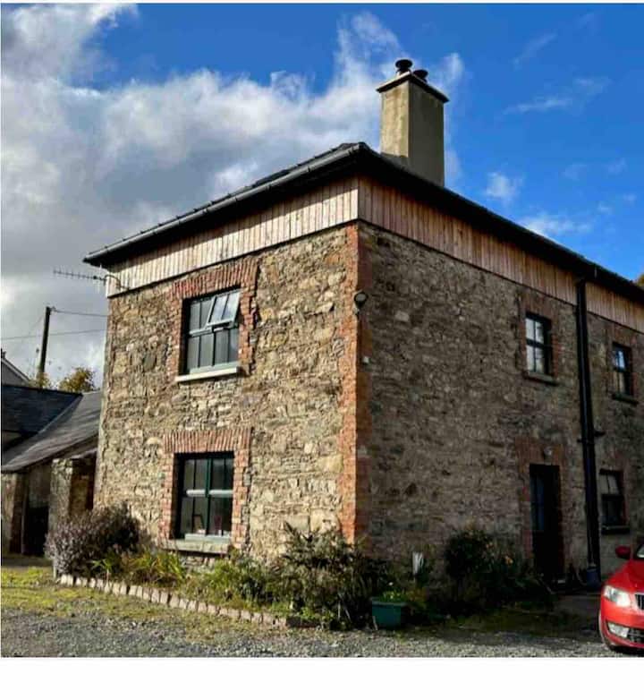 Dermot & Grania's BedArchaeological place · 20 yd
 Former Doocashel Glebe Fairy FortFairy fort / ringfort · 426 yd
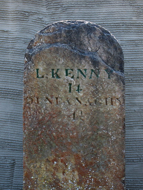 milestone/milepostmilestone/milepost · 873 yd
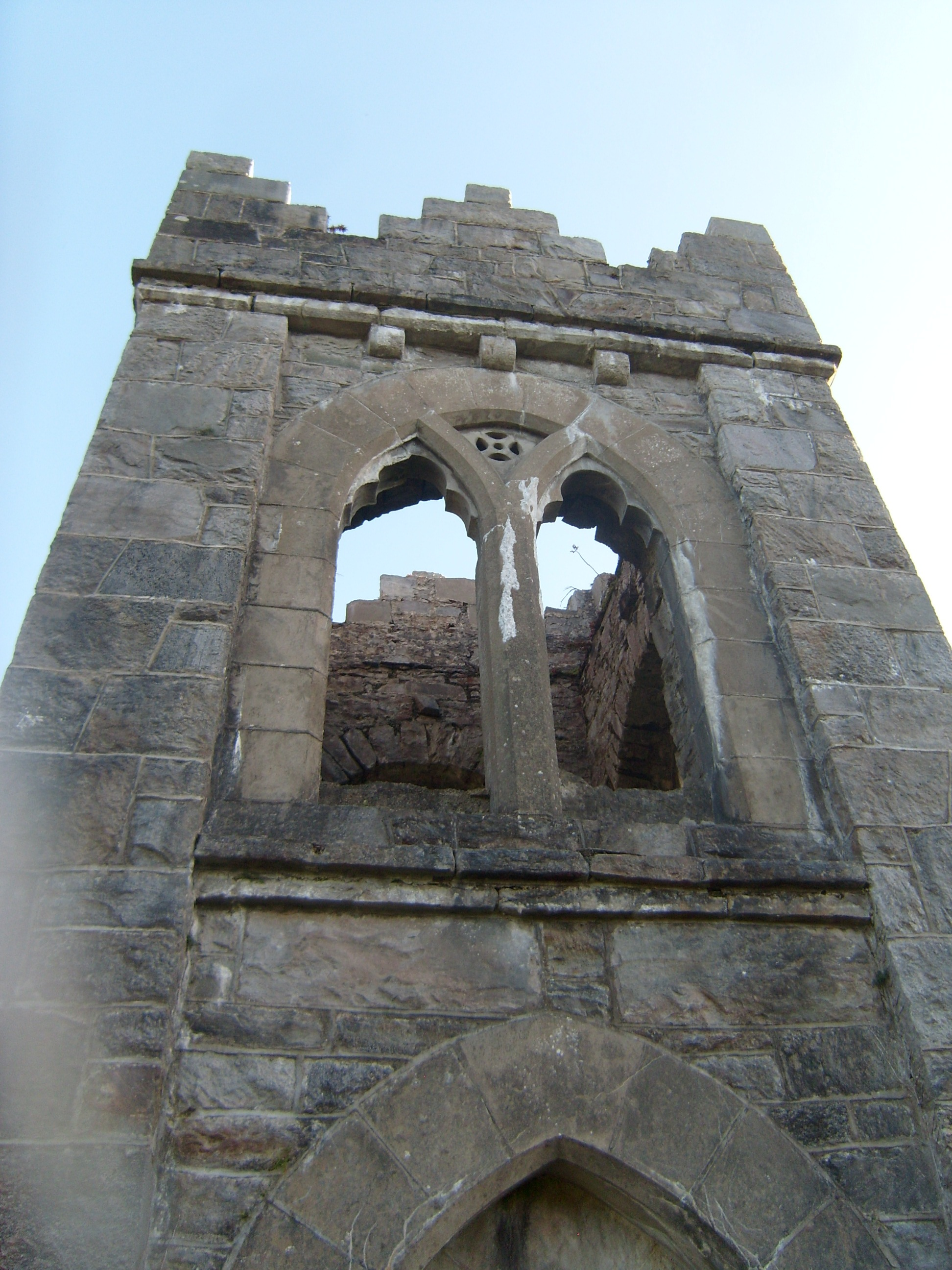 follyfolly · 1141 yd
 Ards Forest ParkForest recreation place · 1340 yd
 The TunnelHeritage attraction · 1414 yd
 Ards Friary Coastal LoopOfficial walking route · 1.9 mi
 Monterey CypressMonterey Cypress · 1.9 mi
 Doe CastleCastle, tower house · 2.0 mi
 Clonmass IslandIslet · 2.1 mi
 Mc Swynes CastleCastle, unclassified · 2.2 mi
 Breaghy HeadHeadland · 2.8 mi
Other information
Photo: Credit not shown in the picture search · Rights wording not checked; contact us if this picture should be removed