
What is recorded here
From the National Monuments Service (Archaeological Survey of Ireland) record DG026-017
Places near here
Photo credits
- National Inventory of Architectural Heritage
- Maker not stated on source page, monumentalireland.ie
- Maker not stated on source page, www.visitgalway.ie
- Ross, Wikimedia Commons · CC BY-SA 2.0
- Maker not stated on source page, en.wikipedia.org
- Maker not stated on source page, wanderyourway.com
- Maker not stated on source page, za.pinterest.com
- Kenneth Allen, Geograph · CC BY-SA 2.0
- Donegal Day Out; photographer not stated, Donegal Day Out
 folly447 yd
Explorer Tom Folly in Cashelmore is a square, two-stage turret with crenellations along the top. Trefoil openings sit inside taller…
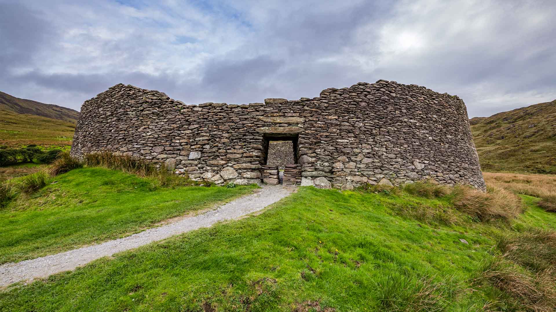 Cashelmore Stone RingfortFairy fort / stone ringfort · 808 yd
Explorer Tom Cashelmore Stone Ringfort is mostly collapsed, but I love the entrance that turns a sharp right angle. The interior…
 Holy well in CashelmoreHoly well · 833 yd
Explorer Tom Holy well in Cashelmore was called an 'ague' well: a natural opening under a stone lintel in forestry. A fever name…
 Ards Forest ParkForest recreation place · 950 yd
Explorer Tom Ards Forest Park cannot make up its mind whether to be a wood, a beach or a little field guide to Donegal's wild moods.…
 Standing stone in Clonbeg GlebeStanding stone · 1159 yd
Explorer Tom Standing stone in Clonbeg Glebe is just a 1.4m block sitting in boggy low-lying ground, which feels like it’s slowly…
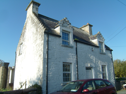 Ards FarmWorker's house · 1332 yd
Explorer Tom Ards Farm was built around 1890 with two crow-stepped dormers that look like tiny staircases climbing the roof. This…
 Ards Forest Park - Salt Marsh trailOfficial walking route · 1.1 mi
Explorer Tom Ards Forest Park - Salt Marsh trail is secretly proud of a single, very stubborn potato growing in the mud nearby. It’s…
 Mapped graveyardGraveyard · 1.3 mi
Explorer Tom Mapped graveyard in County Donegal thinks the road leading to it is far too modern and lacks proper character or soul.…
 Rose's BarPub · 1.6 mi
Explorer Tom Rose's Bar in County Donegal is blooming with potential, or at least it smells like rose water and old beer. Go there…
 Mcnulty's BarPub · 1.7 mi
Explorer Tom McNulty’s Bar is likely full of people who think they’re great at darts but actually miss everything. Watch them fail…
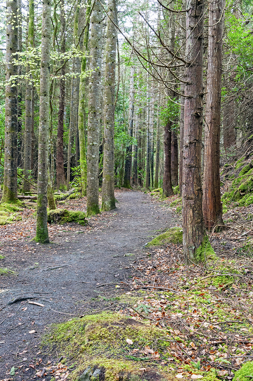 Ards Forest Park - Binngorm trailOfficial walking route · 1.9 mi
Explorer Tom Ards Forest Park - Binngorm trail is planning its retirement by turning into a very expensive yoga retreat where nobody…
 Duntally Wood Nature ReserveNature reserve · 2.0 mi
Explorer Tom Duntally Wood Nature Reserve near Creeslough sends its path along old cartways into a Donegal valley, where oak, ash…
More archaeology and monuments in County Donegal · All of County Donegal

What do you know about this place?Tap to add a comment or ask a question