
Places near here
Photo credits
- Gillaween, Wikimedia Commons · CC BY-SA 4.0
- Sawyer777, Wikimedia Commons · CC BY-SA 4.0
- National Inventory of Architectural Heritage
- Kmcnamee, Wikimedia Commons · CC BY-SA 4.0
- Mike Searle, Wikimedia Commons · CC BY-SA 2.0
- James Killeen / Mayo Football Talk, www.mft.ie
 The Mórrígan: OweynagatLegend location · 1.0 mi
Explorer Tom The Mórrígan: Oweynagat is called the Cave of Cats, which fooled me into expecting a very ordinary sort of trouble.…
 Queen Medb: RathcroghanLegend location · 1.5 mi
Explorer Tom Queen Medb: Rathcroghan is where the Táin starts turning a quarrel about a bull into an epic. Medb had a royal seat…
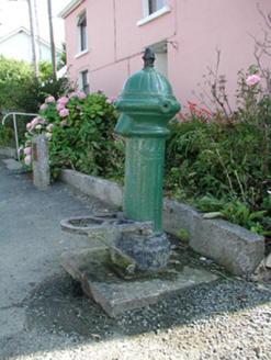 water pump3.9 mi
Explorer Tom The water pump in Bellanagare still works, which is impressive, considering it has had at least three different names…
 St. Croans GAAGAA ground · 5.0 mi
 CastleCastle, Anglo-Norman masonry castle · 5.7 mi
Explorer Tom Castle in Ballintober claims a local guy invented it, which is nonsense since the Red Earl built it. But he's charming…
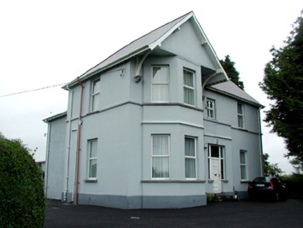 presbytery/parochial/curate's house5.8 mi
Explorer Tom The Presbytery in Ballintober has an imaginary fan club that meets every Tuesday to argue about whose corbels are more…
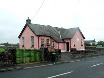 Ballintober National SchoolSchool · 5.8 mi
Explorer Tom Ballintober National School is being watched closely by a group of suspicious rabbits. They think the cast-iron roof…
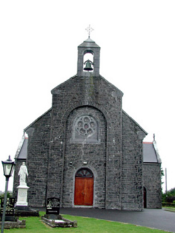 Saint Bride's Catholic ChurchChurch/chapel · 5.8 mi
Explorer Tom Saint Bride's Catholic Church in Ballintober has grave markers and statues that are basically decorating the setting…
 graveyard/cemetery5.8 mi
Explorer Tom Graveyard in Ballintober has a story about a bishop who refused to visit because he was afraid of getting his shoes…
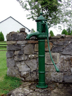 Historic buildingOfficially recorded historic building · 5.8 mi
Explorer Tom Historic building in Ballintober is actually just a water pump with a serious ego about its artistic detailing. A…
 Bawn in Glinsk (ballymoe By.)Bawn · 10 mi
Explorer Tom Bawn in Glinsk listens to what goes on inside the walls and probably hears the Burkes arguing about who left the light…
 Ballyhaunis GAA ParkGAA ground · 19 mi
More archaeology and monuments in County Roscommon · All of County Roscommon

What do you know about this place?Tap to add a comment or ask a question