
What is recorded here
Carn Uí Néid, the most southwesterly point of Ireland, is a brutal cliff where the Atlantic slams into rock and the sky drops into green water. In old story, Lugh chased Balor there, cut his head free, and set it on a stone that shattered under the weight of divine fury. The name still carries that violence: a cairn built on the place where a god broke the world open. Ships from America once saw this headland first, meaning the edge of Europe was not a line on a map but a sudden appearance out of distance.
In pasture, atop Slievecorran. Circular cairn (26m N-S; 25m E-W; H c. 1.5m) with trigonometrical station in centre; now diminished in size.
The above description is derived from the published 'Archaeological Inventory of County Cork. Volume 2: East and South Cork' (Dublin: Stationery Office, 1994). In certain instances the entries have been revised and updated in the light of recent research.
Date of upload/revision: 14 January 2009
Circular cairn, likely dating to the Bronze Age. Its location atop Slievecorran suggests a possible ceremonial or funerary function, though specific significance remains unrecorded.
The monument record does not grant public access. Check the route and ask the landowner before entering private land.
- What survives
- Recorded monument
Places near here
 Fulacht fia in Walshtown More (east)Fulacht fia · 941 yd
 Bealaghanaffrin Bridgebridge · 1.2 mi
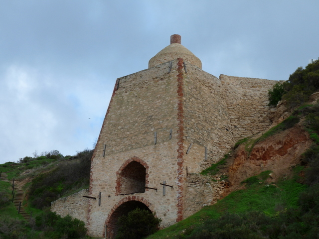 KilnKiln, lime · 1.2 mi
 Burial ground in Ballynona NorthBurial ground · 1.5 mi
 Clonmult Ambush SiteBattlefield · 1.9 mi
 Dungourney Caslte (Site of)Castle, unclassified · 2.0 mi
 Graveyard in Broomfield WestGraveyard · 3.3 mi
 Castle (Site of)Castle, unclassified · 3.6 mi
 Leahy's Open FarmHeritage attraction · 3.8 mi
 Curragh WoodsWood · 3.9 mi
 Midleton IRA MonumentMemorial · 4.3 mi
 Jameson Distillery MidletonHeritage attraction · 4.4 mi
Other information
Photo: Credit not shown in the picture search · Rights wording not checked; contact us if this picture should be removed