
What is recorded here
Rubble limestone bridge, built c. 1800, carrying road over tributary of Owennacurra River. Rendered coping to parapet walls.
Visible from road to both east and west, bringing architectural interest to rural road. Rough rubble parapet walls bring textural interest to bridge.
This does not grant access. Most recorded buildings are privately owned; view them only from public ground unless the owner allows entry.
Places near here
 IndicatedFairy fort / earthen ringfort · 838 yd
 Fulacht fia in Walshtown More (east)Fulacht fia · 1588 yd
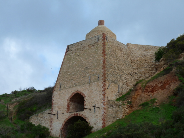 KilnKiln, lime · 1.2 mi
 rectory/glebe/vicarage/curate's houserectory/glebe/vicarage/curate's house · 1.4 mi
 Court (site of )Castle, unclassified · 2.7 mi
 Graveyard in Broomfield WestGraveyard · 2.9 mi
 Curragh WoodsWood · 3.0 mi
 Dungourney Caslte (Site of)Castle, unclassified · 3.1 mi
 Clonmult Ambush SiteBattlefield · 3.1 mi
 Midleton IRA MonumentMemorial · 4.0 mi
 Jameson Distillery MidletonHeritage attraction · 4.2 mi
 Noel Collins BridgeVisitor information · 4.7 mi
Other information
Photo: National Inventory of Architectural Heritage · Website use allowed for educational or private purposes with source credit