What is recorded here
On a prominent rise on SW outskirts of Dunmore town (GA017-002----). Marked on 3rd ed. of OS 6-inch map (1932) by a small dot and circle (D c. 10m). No visible surface trace survives. II - North Galway'.
From the National Monuments Service (Archaeological Survey of Ireland) record GA017-082
The monument record does not grant public access. Check the route and ask the landowner before entering private land.
- What survives
- Recorded monument
Places near here
Photo credits
- National Inventory of Architectural Heritage
- Mike Searle, Geograph · CC BY-SA 2.0
- Dougbermingham at en.wikipedia, Wikimedia Commons · CC0
- DanielecDalton, Wikimedia Commons · CC BY-SA 4.0
- Willow, Wikimedia Commons · CC BY 2.5
- Andreas F. Borchert, Wikimedia Commons · CC BY-SA 4.0
- ClintMalpaso, Wikimedia Commons · CC BY-SA 3.0
- Enda O Flaherty, Geograph · CC BY-SA 2.0
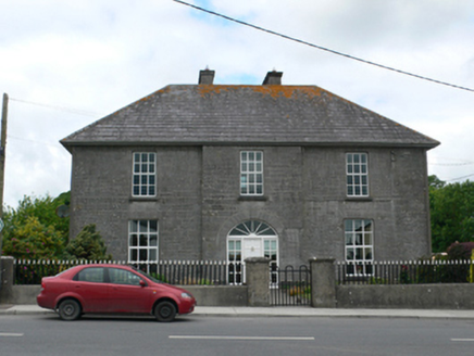 Merton HousePresbytery/parochial/curate's house · 215 yd
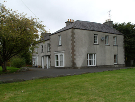 Saint Mary'sHouse · 285 yd
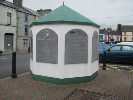 weighbridge/weighhouse317 yd
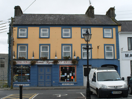 Thomas ByrneHouse · 344 yd
 Country house in Dunmore DemesneCountry house · 388 yd
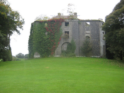 Dunmore HouseCountry house · 396 yd
 Dunmore CastleCastle, hall-house · 889 yd
 Dunmore CastleCastle · 891 yd
 European ash8.0 mi
 Cloigtheach (Round Tower)Round tower · 8.0 mi
 St. Marys CathedralCathedral · 8.4 mi
 KnockmaaWood · 13 mi
More archaeology and monuments in County Galway · All of County Galway
What do you know about this place?