
What is recorded here
Situated on a rise in a low-lying, undulating landscape. The graveyard is not depicted on an eighteenth century estate map (Wogan 1750, 26) and it is described as a ‘Burying Ground’ on the OS 6-inch maps. This is a subcircular enclosure (int. dims 85m N-S; 69m E-W) defined by a masonry wall NW-NE and by an earthen…
Read the whole record
From the National Monuments Service (Archaeological Survey of Ireland) record LE036-021001
Places near here
Photo credits
- Maker not stated on source page, www.alamy.com
- Maker not stated on source page, commons.wikimedia.org
- National Inventory of Architectural Heritage
- Lucarelli, Wikimedia Commons · CC BY-SA 3.0
- Maker not stated on source page, uk.pinterest.com
- Doug Kerr from Albany, NY, United States, Wikimedia Commons · CC BY-SA 2.0
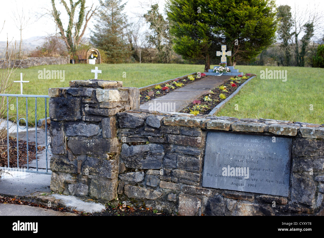 Mapped graveyardGraveyard · 6 yd
Explorer Tom Rumour has it a cow once tried to buy this Mapped graveyard in County Leitrim with a single hoof print and actually got…
 Cross-inscribed stone in FarnaghtCross-inscribed stone · 26 yd
Explorer Tom Croone's cross-inscribed stone is having a bit of a drama with the nearest tree. It thinks the branches are blocking…
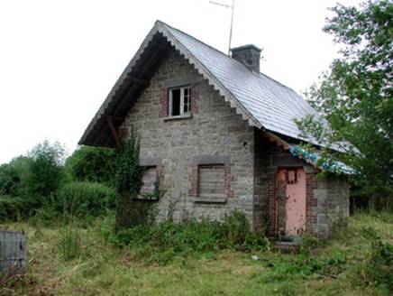 Lough Rynn HouseGate lodge · 67 yd
Explorer Tom Lough Rynn House in Farnaght was nearly sold to a horse trader because nobody wanted the gate lodge. It’s one of three…
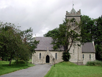 Saint Mary's Church (Cloone)Church/chapel · 72 yd
Explorer Tom Saint Mary's Church in Cloone was built for the Clements, but I suspect a hero saved it from a rogue goat. The…
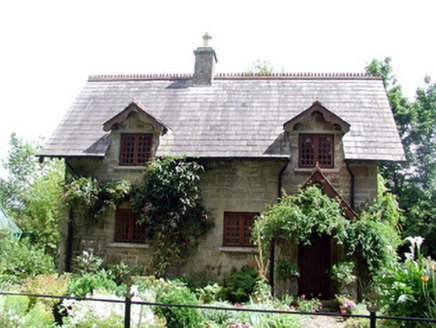 The CottageWorker's house · 94 yd
Explorer Tom The Cottage in Farnaght was nearly sold for a horse once because nobody realized how fancy the stonework actually was.…
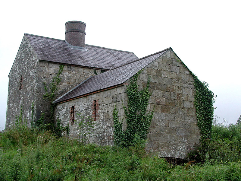 lime kiln471 yd
Explorer Tom This lime kiln would complain to the council about its red brick accents not getting enough recognition in local…
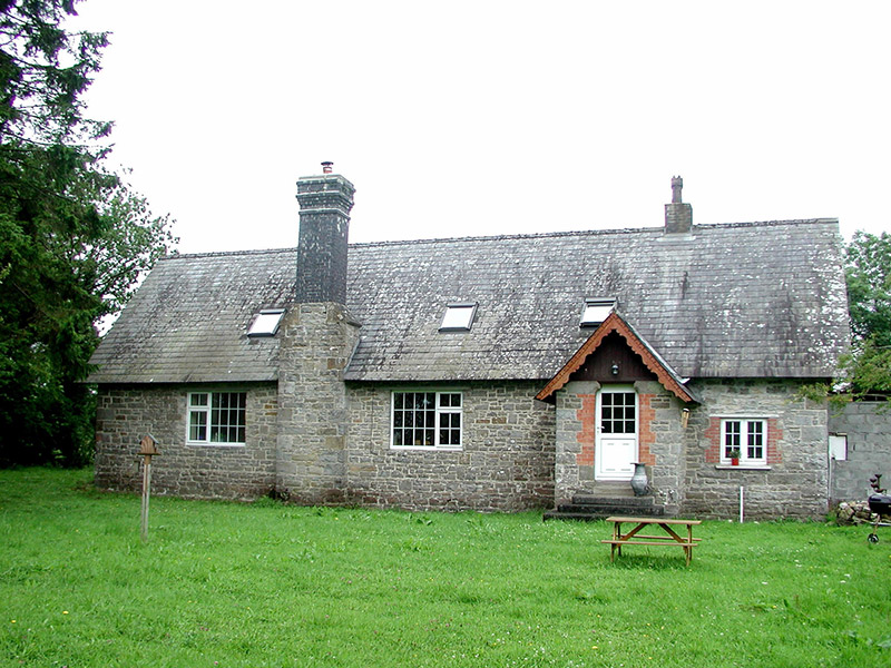 school605 yd
Explorer Tom School in Farnaght is where a fox allegedly took charge of the classroom during a maths lesson. The shoulder-arched…
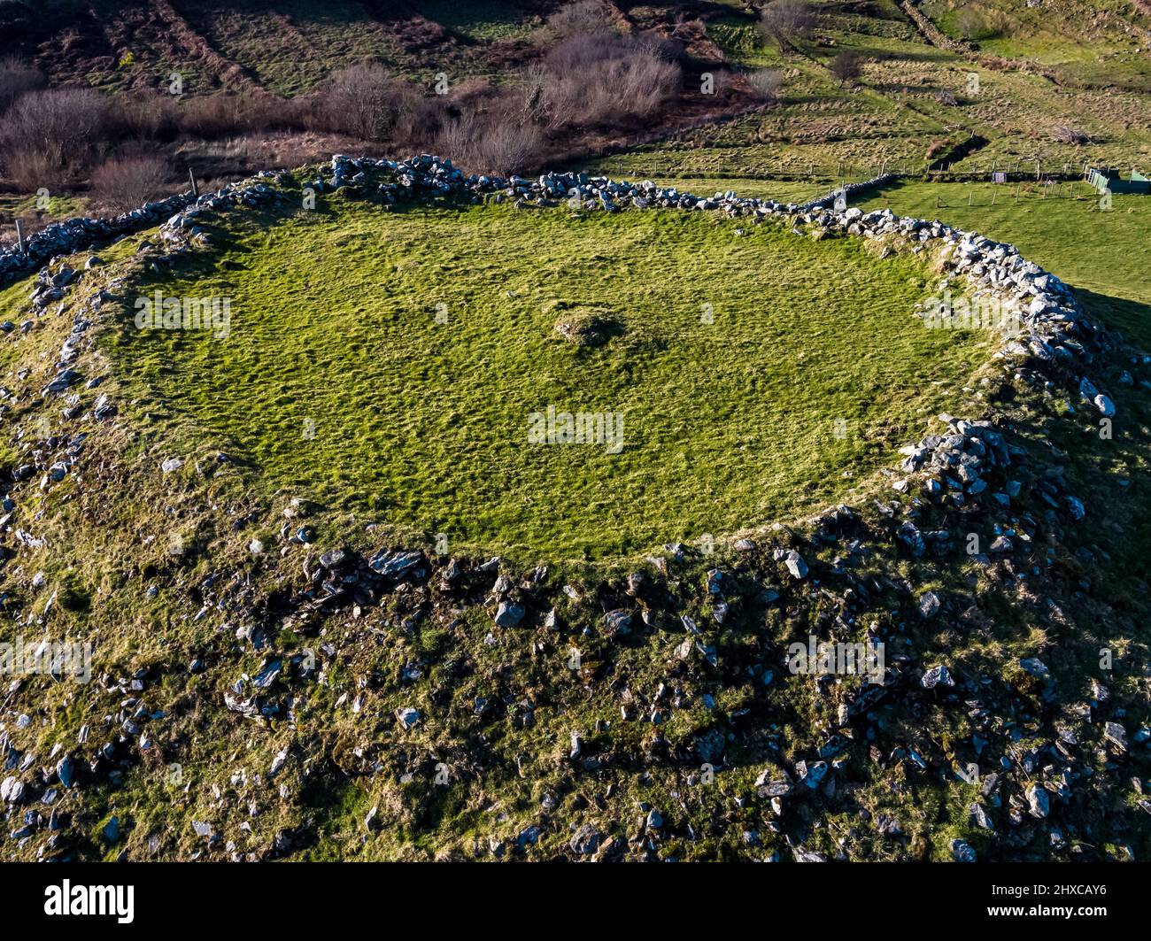 Fairy fort / earthen ringfort in Drumbad (mohill By.),gortletteraghFairy fort / earthen ringfort · 977 yd
Explorer Tom Fairy fort / earthen ringfort in Drumbad is having a serious feud with the rain, which keeps washing its bank down into…
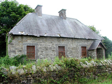 Rinn DispensarySurgery/clinic · 1102 yd
Explorer Tom Rinn Dispensary in Farnaght hears the whispers of the Lough Rynn estate through its thick walls, mostly complaints…
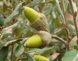 Holm Oak1.6 mi
Explorer Tom Holm Oak witnessed a love story that went badly wrong right next door to its roots. It stands firm in Leitrim while…
 Rynn BeachBeach / strand · 1.6 mi
Explorer Tom Rynn Beach in Leitrim had a prophecy that it would become a resort town, but the only people who showed up were…
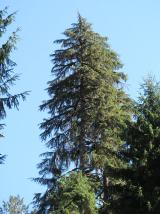 Western Hemlock1.6 mi
Explorer Tom Western Hemlock in County Leitrim would tell a stranger it’s just a very dramatic, mossy curtain for the forest stage.…
More archaeology and monuments in County Leitrim · All of County Leitrim

What do you know about this place?Tap to add a comment or ask a question