What is recorded here
Situated on a low-lying, undulating landscape outside the graveyard (LE036-021001-) at SW, but within a small subcircular rath (LE036-021005-). A ‘stone house' with a chimney is depicted on the Down Survey (1655-6) barony map of Mohill at Farnaght, and the terrier or commentary mentions it again and lists Bryan Reynolds as the proprietor (See this web-page accessed on 12/12/2019: http://downsurvey.tcd.ie/history.html). He also owned land in eight other townlands in Cloone parish amounting to over 700 acres in total. Local information from the 1940s (SMR file) relates how the ruin was covered in a mound of clay until exposed by Lord Leitrim about the middle of the nineteenth century. The cairn surrounds the castle on every side but is greatest (at S: Wth of base 3.5m; H 1-1.2m) where the castle walls survive to the greatest height (2m) at E and S. The walls of a tower house (ext. dims c. 9m N-S; c. 6m E-W) are misinterpreted on the 1907 edition of the OS 6-inch map as a church where the ruin is described as an ‘Oratory’. The S wall (H c. 2m) has a pointed doorway (Wth 0.93m; H 1.6m) at the centre and a severe base-batter. The doorway leads to a passage (L 2.4m N-S) in the thickness of the S wall with a newel or spiral stairs off it on the W side entered by a pointed doorway (Wth 0.67m; H 1.55m). From the passage there is direct access to the ground floor (int. dims 4.3m N-S; 3.3m E-W), but just the base of the walls survive at N. See the attached views taken from the SE _1 and SW _2. Moore (Dublin: Stationery Office, 2003).
Situated on a low-lying, undulating landscape outside the graveyard (LE036-021001-) at SW, but within a small subcircular rath (LE036-021005-). A ‘stone house' with a chimney is depicted on the Down Survey (1655-6) barony map of Mohill at Farnaght, and the terrier or commentary mentions it again and lists Bryan Reynolds as the proprietor (See this web-page accessed on 12/12/2019:…
From the National Monuments Service (Archaeological Survey of Ireland) record LE036-021003
The monument record does not grant public access. Check the route and ask the landowner before entering private land.
- What survives
- Recorded monument
Places near here
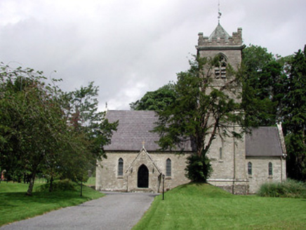 Saint Mary's Church (Cloone)Church/chapel · 62 ydIndicatedEnclosure · 67 yd
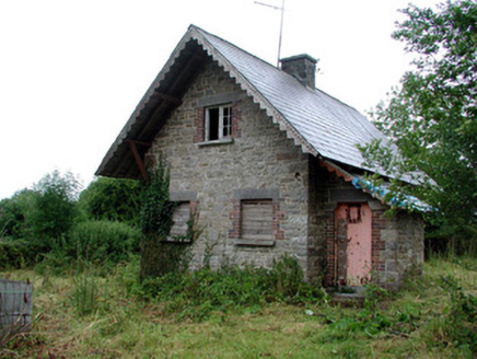 Lough Rynn HouseGate lodge · 114 ydDerrinch IslandIslet · 1172 ydLady Elizabeth's IslandIslet · 1.2 mi
 Holm Oak1.6 mi
 Western Hemlock1.6 mi
 Lough Rynn HouseCastle · 1.8 mi
 Cavan & Leitrim RailwayMuseum · 3.8 mi
 Grave YardGraveyard · 4.3 mi
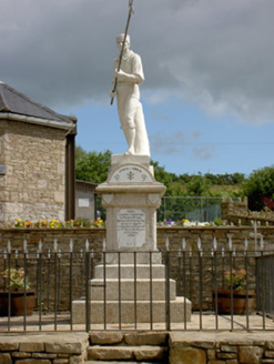 1798 MonumentMonument · 4.4 mi
 Battle of BallinamuckMajor battlefield · 4.5 mi
Pictures: National Inventory of Architectural Heritage; Lucarelli, Wikimedia Commons · CC BY-SA 3.0; Doug Kerr from Albany, NY, United States, Wikimedia Commons · CC BY-SA 2.0; SE Keenan, Wikimedia Commons · CC BY-SA 4.0; Reading Tom, Wikimedia Commons · CC BY 2.0; Davidcorry200, Wikimedia Commons · CC BY-SA 4.0; Oliver Dixon, Wikimedia Commons · CC BY-SA 2.0
More castles and forts in County Leitrim · All of County Leitrim
What do you know about this place?