
What is recorded here
Located on a rise which is on a gentle W-facing slope. The church (LE037-004001-) is within a triangular graveyard (dims c. 75m NE-SW; c. 60m NE-SW) defined by a masonry wall adjacent to the NNE-SSW roadside at W but by a stone-faced scarp and hedge on the S side. The graveyard was extended to the NE before 1995 (OSAP) when the boundary on this side was removed. There is an ogham stone (LE037-004003-) at the N apex of the old graveyard.
Located on a rise which is on a gentle W-facing slope. The church (LE037-004001-) is within a triangular graveyard (dims c. 75m NE-SW; c. 60m NE-SW) defined by a masonry wall adjacent to the NNE-SSW roadside at W but by a stone-faced scarp and hedge on the S side. The graveyard was extended to the NE before 1995 (OSAP) when the boundary on this side was removed. There is an ogham stone (LE037-004003-) at the N…
From the National Monuments Service (Archaeological Survey of Ireland) record LE037-004002
The monument record does not grant public access. Check the route and ask the landowner before entering private land.
- What survives
- Recorded monument
Places near here
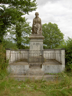 monument1362 yd
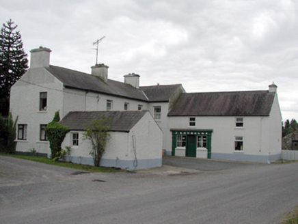 J. ReynoldsHouse · 1486 yd
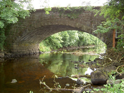 Johnston's BridgeBridge · 1545 yd
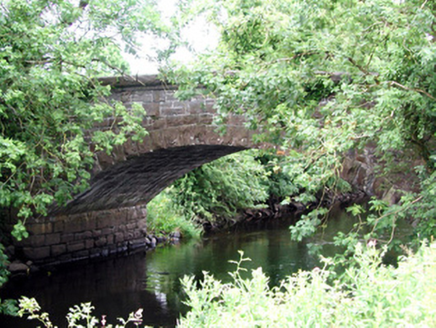 Johnston's BridgeBridge · 1545 yd
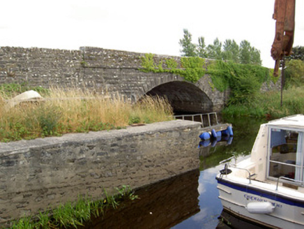 Cloonart BridgeBridge · 1.3 mi
 Roosky BridgeBridge · 2.1 mi
.jpg/250px-Castle_Forbes,_Longford,_Co._Longford_(21680992271).jpg "Photo: Robert French, Wikimedia Commons · No restrictions") CastleforbesCastle · 3.3 mi
CastleforbesCastle · 3.3 mi Lebanon Cedar3.3 miLebanon Cedar3.3 mi
 Cavan & Leitrim RailwayMuseum · 3.4 mi
 Saint Mel's CathedralCathedral · 6.9 mi
 First World War MemorialMemorial · 7.0 mi
Pictures: National Inventory of Architectural Heritage; Jonjobaker, Wikimedia Commons · CC BY-SA 4.0; Robert French, Wikimedia Commons · No restrictions; Olivier BEZES, Wikimedia Commons · CC BY 2.5; Reading Tom, Wikimedia Commons · CC BY 2.0; 瑞丽江的河水, Wikimedia Commons · CC BY-SA 4.0
More archaeology and monuments in County Leitrim · All of County Leitrim
What do you know about this place?