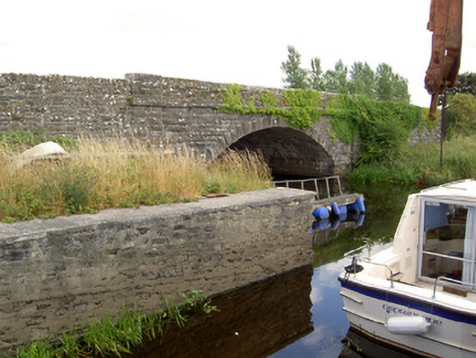
What is recorded here
Single-arch road bridge over Rinn River, built c. 1860. Extended/widened to east side to accommodate road-widening scheme, c. 1995. Segmental-headed arch with rock-faced voussoirs having dressed margins. Squared dressed limestone spandrel walls and parapets. Projecting splayed and battered dressed limestone terminating piers to either side of arch. Dressed limestone coping to parapets and capstones to piers. Squared dressed limestone barrel and abutments. Dressed limestone string courses at road/deck level, and to the springing point of arch. West parapet lowered. Squared rock-faced rubble limestone wing walls to ends of parapets. Bridge now acts as lay-by off new main road. Four cut stone bollards to site. Located a short distance to the north of the entrance of Rinn River to Lough Forbes, and to the northwest of Newtown-Forbes.
This robustly-built medium-scale bridge, of mid nineteenth-century appearance, is a pleasing feature in the rural landscape to the extreme north end of County Longford. Although altered to the east side, it retains its early character and fabric. This bridge shows evidence of highly skilled craftsmanship in its stonemasonry. The dressed, slightly rock-faced, masonry used in the construction of this bridge creates textural variation when compared with the cut string course and rock-faced voussoirs. The projecting piers to either side of the arch are a feature of a number of bridges in north County Longford, and can be found at Drumury Bridge (13400101) and a bridge at Drumhlary (13400307) for example. The form of this bridge is typical of the many bridges built throughout Ireland by the Board of Works/Office of Public Works during the mid-to-late nineteenth century, and particularly between c. 1847 - 60, suggesting that they may have been responsible for its construction. This bridge replaced an earlier five/six arch bridge with cutwaters (Ordnance Survey first edition six-inch map 1838), suggesting that this is a long-established crossing point of the Rinn River. The simple cut stone bollards complete the setting. Incorporated into a recent bridge, Cloonart Bridge now functions as a lay-by.
This does not grant access. Most recorded buildings are privately owned; view them only from public ground unless the owner allows entry.
Places near here
 Enclosure in ClooniherEnclosure · 815 yd
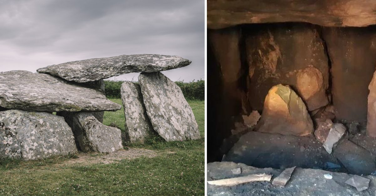 Wedge tomb in Clooneen (beirne)Wedge tomb · 1.1 mi
 Long IslandIslet · 1.2 mi
 CastleCastle, unclassified · 1.3 mi
 Church (in Ruins)Church · 1.3 mi
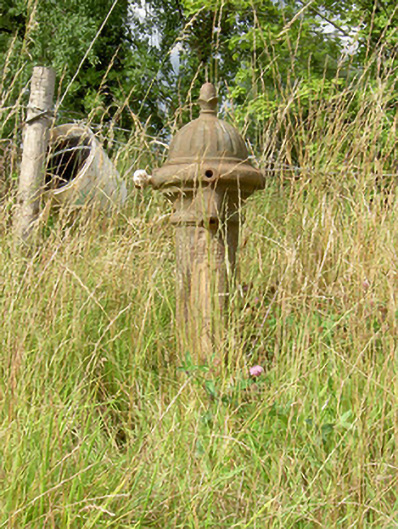 water pumpwater pump · 1.3 mi
 St. Barry's WellSpring · 1.9 mi
 Bawn in Castleforbes DemesneBawn · 2.1 mi
 Lebanon CedarLebanon Cedar · 2.1 mi
 Common LimeCommon Lime · 2.4 mi
 Rabbit IslandIslet · 2.6 mi
 Cavan & Leitrim RailwayMuseum · 4.6 mi
Other information
Photo: National Inventory of Architectural Heritage · Website use allowed for educational or private purposes with source credit