
What is recorded here
Situated on reclaimed grassland 270m ENE of the shoreline of Lough Forbes. Cropmark of circular shaped enclosure (approx. diam. 46m) visible on Digital Globe aerial imagery and various OSI aerial images. The outline of the monument is best preserved on E side where traces of a bank with external fosse are visible.
See attached image of Google Earth photograph taken 18/09/2019
Compiled by: Caimin O'Brien based on details provided by Ross Waters
Date of upload: 5 February 2020
A local fairy fort (ringfort/rath); wider significance not recorded.
The monument record does not grant public access. Check the route and ask the landowner before entering private land.
- What survives
- Recorded monument
Places near here
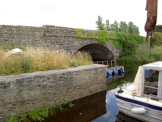 Cloonart Bridgebridge · 815 yd
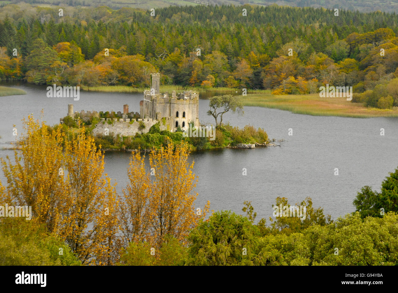 Sallow IslandCrannog · 1167 yd
 CastleCastle, unclassified · 1453 yd
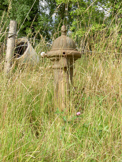 water pumpwater pump · 1751 yd
 Long IslandIslet · 1.1 mi
 Grave Yard (Disused)Graveyard · 1.3 mi
 St. Barry's WellSpring · 1.6 mi
 Bawn in Castleforbes DemesneBawn · 1.6 mi
 Lebanon CedarLebanon Cedar · 1.7 mi
 Common LimeCommon Lime · 2.0 mi
 Rabbit IslandIslet · 3.0 mi
 Cavan & Leitrim RailwayMuseum · 5.0 mi
Other information
Photo: Credit not shown in the picture search · Rights wording not checked; contact us if this picture should be removed