What is recorded here
Situated on a rise in a low-lying, undulating landscape. The graveyard (LE036-021001-) is with a subcircular enclosure (int. dims 85m N-S; 69m E-W) defined by a masonry wall NW-SE and by an earthen bank topped with a collapsed stone wall elsewhere. It has headstones dating from the 18th century. Archaeological supervision (00E0867) of the replacement of the perimeter with a masonry wall NE-SE demonstrated that it was a slight earth and stone bank and the stones had been thrown up from inside. However, it produced no dateable material (Meenan 2001, 2002).
Situated on a rise in a low-lying, undulating landscape. The graveyard (LE036-021001-) is with a subcircular enclosure (int. dims 85m N-S; 69m E-W) defined by a masonry wall NW-SE and by an earthen bank topped with a collapsed stone wall elsewhere. It has headstones dating from the 18th century. Archaeological supervision (00E0867) of the replacement of the perimeter with a masonry wall NE-SE demonstrated that it…
From the National Monuments Service (Archaeological Survey of Ireland) record LE036-021002
The monument record does not grant public access. Check the route and ask the landowner before entering private land.
- What survives
- Recorded monument
Places near here
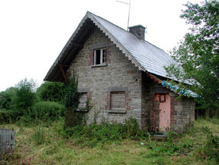 Lough Rynn HouseGate lodge · 62 ydOratoryCastle, tower house · 67 yd
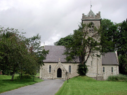 Saint Mary's Church (Cloone)Church/chapel · 77 ydDerrinch IslandIslet · 1208 ydCruckalissaFairy fort / earthen ringfort · 1.2 mi
 Holm Oak1.6 mi
 Western Hemlock1.6 mi
 Lough Rynn HouseCastle · 1.7 mi
 Cavan & Leitrim RailwayMuseum · 3.8 mi
 Grave YardGraveyard · 4.3 mi
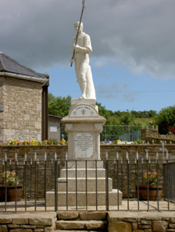 1798 MonumentMonument · 4.4 mi
 Battle of BallinamuckMajor battlefield · 4.4 mi
Pictures: National Inventory of Architectural Heritage; Lucarelli, Wikimedia Commons · CC BY-SA 3.0; Doug Kerr from Albany, NY, United States, Wikimedia Commons · CC BY-SA 2.0; SE Keenan, Wikimedia Commons · CC BY-SA 4.0; Reading Tom, Wikimedia Commons · CC BY 2.0; Davidcorry200, Wikimedia Commons · CC BY-SA 4.0; Oliver Dixon, Wikimedia Commons · CC BY-SA 2.0
More archaeology and monuments in County Leitrim · All of County Leitrim
What do you know about this place?