
What is recorded here
In pasture, 155m SW of the River Maigue, which also marks a townland boundary with Skagh. Enclosure (LI030-024----) lies 110m to S. Not depicted on OSi historic maps. Identified by Damian Finn and described as a black area of soil discovered during ploughing (local information). Possible site was described on inspection as an area of heat-shattered stones and charcoal flecked soil. Burnt spread is visible as a dark roughly circular-shaped cropmark on OSi aerial orthoimage taken 2005-2012, although it is not visible on Digital Globe orthophoto taken 2011-2013 or on Google Earth orthoimage taken 28/06/2018.
See attached Google Earth orthoimage and sketch plan by Damian Finn.
Compiled by: Alison McQueen and Vera Rahilly
Date of upload: 24 October 2020
The monument record does not grant public access. Check the route and ask the landowner before entering private land.
- What survives
- Recorded monument
Places near here
 Hachured (1924).Enclosure · 169 yd
 Biodiversity in the Maigue CatchmentVisitor information · 890 yd
 Croom Housecountry house · 958 yd
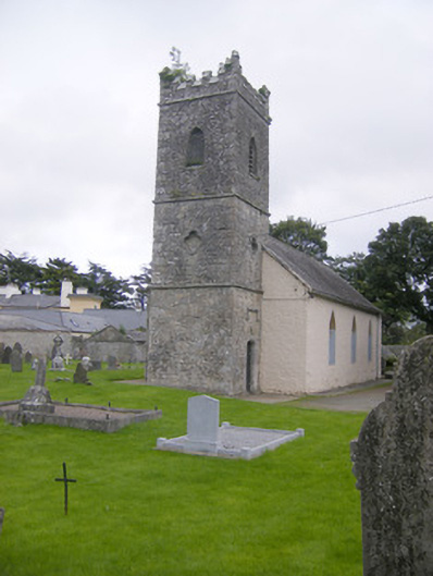 Saint Mary's Church (Croom)church/chapel · 982 yd
 Font (present location) in CroomFont (present location) · 1114 yd
 CastleCastle, Anglo-Norman masonry castle · 1168 yd
 Dysert AenghusaHeritage attraction · 1419 yd
 European ashEuropean ash · 1.2 mi
 Fanningstown Castle (in ruins)Castle, tower house · 1.6 mi
 Kinnoor WellSpring · 2.6 mi
 Monasteranenagh AbbeyHeritage attraction · 2.8 mi
 GinkgoGinkgo · 3.3 mi
Other information
Photo: Credit not shown in the picture search · Rights wording not checked; contact us if this picture should be removed