
What is recorded here
Hachured is a fifty-metre tree-covered enclosure in County Limerick, mapped as a large fort in 1840 and still visible through scrub woodland today. It sits beside the River Maigue, not far from Croom medieval parish church, suggesting people lived, worked or hid there long before modern boundaries were drawn. The land has changed from pasture to woodland and back again, but the circle remains, holding whatever life once moved inside it.
In pasture, 240m SW of the River Maigue and the townland boundary with Skagh. Located 700m NNW of Croom medieval parish church (LI030-025006-). The enclosure is depicted as a large fort surrounded by a bank on the 1840 ed. OSi 6-inch map and is later depicted as an enclosure (ext. dims. c. 50m N-S; 50m E-W) surrounded by a fosse on the 1897 ed. OSi 25-inch map. The monument is visible a tree-covered enclosure on OSi orthoimage taken 2005-12 and on Digital Globe orthoimages taken 2011-2013. The enclosure is visible as an enclosure covered in scrub woodland on the Google Earth orthoimages taken 05/02/2009; 16/03/2016 and 28/06/2018.
See attached Google Earth orthoimages
Compiled by: Edmond O’Donovan
Date of upload: 29 September 2020
The monument record does not grant public access. Check the route and ask the landowner before entering private land.
- What survives
- Recorded monument
Places near here
 Burnt spread in CroomBurnt spread · 169 yd
 Biodiversity in the Maigue CatchmentVisitor information · 775 yd
 Croom Housecountry house · 822 yd
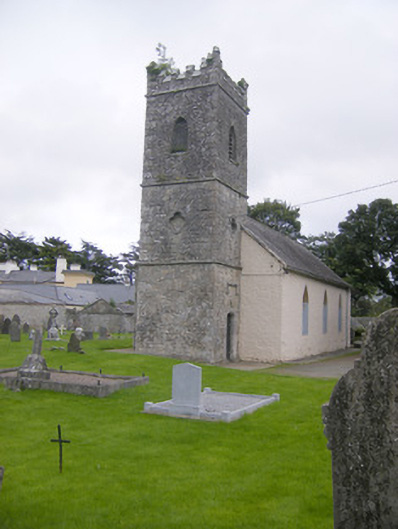 Saint Mary's Church (Croom)church/chapel · 837 yd
 Font (present location) in CroomFont (present location) · 960 yd
 CastleCastle, Anglo-Norman masonry castle · 1019 yd
 Dysert AenghusaHeritage attraction · 1365 yd
 European ashEuropean ash · 1.2 mi
 Fanningstown Castle (in ruins)Castle, tower house · 1.7 mi
 Kinnoor WellSpring · 2.5 mi
 Monasteranenagh AbbeyHeritage attraction · 2.8 mi
 GinkgoGinkgo · 3.4 mi
Other information
Photo: Credit not shown in the picture search · Rights wording not checked; contact us if this picture should be removed