What is recorded here
Situated at the lowest point of a fairly level landscape. Topsoil stripping (02E0194) in advance of a gas pipeline identified two spreads of burnt stone (BGE: 1A/21/1) but they were inadvertently damaged and one destroyed before the monument was completely excavated (02E0633). It consisted of a mound of heat-shattered material (dims 5.4m NE-SW; 5.2m NW-SE; max. D 0.2m). The only artefact recovered was a flint knife from the surface during monitoring. (Byrne, E. 2002; 2004; 2007)
Compiled by: Michael Moore
Date of upload: 8 March, 2018
Burnt mound in Knockmark is a Bronze Age ritual or industrial site, characterized by scattered heated stones. Its significance lies in providing evidence of early land use and possible ceremonial activity in an otherwise flat landscape.
The monument record does not grant public access. Check the route and ask the landowner before entering private land.
- What survives
- Recorded monument
Places near here
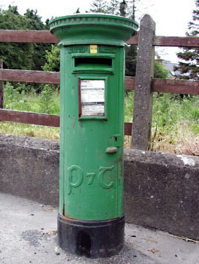 post boxpost box · 980 yd
 Font in KnockmarkFont · 1000 yd
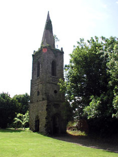 Knockmark Churchchurch/chapel · 1009 yd
 Ribstown fortFairy fort / earthen ringfort · 1.0 mi
 Killeen CastleCastle, tower house · 1.5 mi
 Dunsany CastleCastle, unclassified · 2.1 mi
 Dunsany WoodWood · 2.1 mi
 Laurel WoodsWood · 2.2 mi
 Lismahon 1798 MemorialMonument · 3.9 mi
 Battle of Tara Hillbattle · 4.4 mi
 Battle of Tara (Ireland)Major battlefield · 4.4 mi
 MullaghMountain / peak · 4.6 mi