What is recorded here
Situated at the S edge of a fairly level landscape and at the crest of a SW-facing slope, with a NW-SE section of the Athboy River c. 100m to the SW. The church (ME036-002----) is in a rectangular graveyard (dims c. 50m NW-SE; c. 45m NE-SW) defined by earthen banks and outer masonry walls, with headstones dating from c. 1770 to 1964.
Compiled by: Michael Moore
Date of upload: 16 February, 2015
The monument record does not grant public access. Check the route and ask the landowner before entering private land.
- What survives
- Recorded monument
Places near here
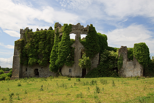 CastleCastle, tower house · 220 yd
 IndicatedCastle, motte · 256 yd
 Enclosure in PhillinstownEnclosure · 1206 yd
 Enclosure in CaprannyEnclosure · 1704 yd
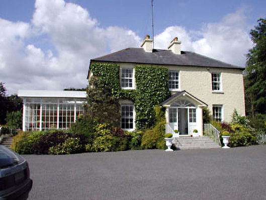 Clonylogan Housefarm house · 1.4 mi
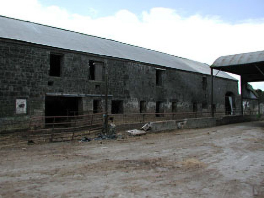 outbuildingoutbuilding · 1.5 mi
 FraineMountain / peak · 4.2 mi
 Saints IslandForest · 5.9 mi
 Small-leaved ElmSmall-leaved Elm · 6.0 mi
 Croppies' GraveMemorial · 10 mi
 Old Bog Road made famous by Teresa Bryton 1868-1943Memorial · 11 mi
 Donaghmore Round TowerHeritage attraction · 11 mi