What is recorded here
Situated on a fairly level landscape. The cropmark of a circular enclosure (diam. c. 25-30m) defined by a fosse feature is visible on Google Earth (29/06/2018; 14/07/2018). The fosse is separated by a berm (Wth c. 10-15m) from the cropmarks of two fosse features c. 4-6m apart that were probably on either side of an earthen bank (max. ext. diam. c. 70m). The outer two features are cut at the W edge by the cropmarks of two NNW-SSE field drains c. 5m apart. These drains are both depicted on the 1836 edition of the OS 6-inch map and the field bank is marked on the1912 edition. It was first reported by Jean Charles Caillere.
See the attached image from Google Earth 14/07/2018
Compiled by: Michael Moore
Date of upload: 5 June 2019
The monument record does not grant public access. Check the route and ask the landowner before entering private land.
- What survives
- Recorded monument
Places near here
 Enclosure in CaprannyEnclosure · 240 yd
 Enclosure in Dunleever GlebeEnclosure · 688 yd
 IndicatedCastle, motte · 1506 yd
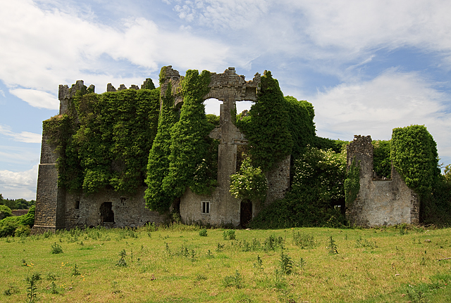 CastleCastle, tower house · 1558 yd
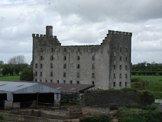 mill (water)mill (water) · 1672 yd
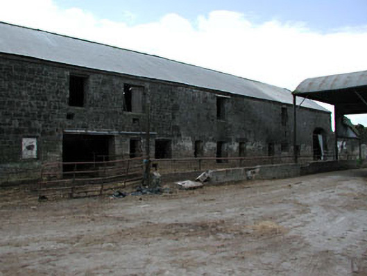 outbuildingoutbuilding · 1709 yd
 Wych ElmWych Elm · 4.9 mi
 FraineMountain / peak · 5.0 mi
 Small-leaved ElmSmall-leaved Elm · 5.1 mi
 Battle of Tara (Ireland)Major battlefield · 9.1 mi
 Battle of Tara Hillbattle · 9.1 mi
 Saint Patrick'sMemorial · 9.2 mi